Fastest Turnaround Times In The Surveying Industry!


Understanding the difference between a boundary survey and an identification survey is important before making property, development or conveyancing decisions. Although the two survey types are often confused, they are used for different purposes and provide different levels of information.
For property owners seeking experienced surveyors in Sydney, MCS Surveyors can help determine which survey is appropriate for a project, transaction or boundary concern.
This article explains what each survey involves, when each one is commonly required and how they differ. It also outlines when a boundary survey, an identification survey or both may be needed to reduce the risk of delays, disputes and costly errors.
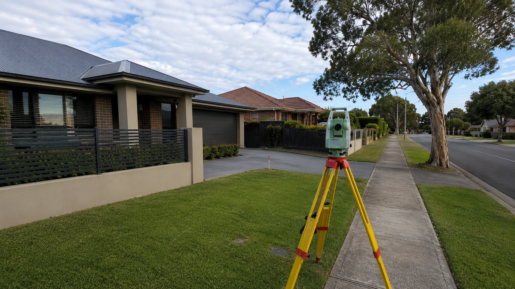
A boundary survey is a cadastral survey carried out by a registered land surveyor to locate and define the legal boundaries of a parcel of land. It identifies the extent of ownership according to the title and deposited plan registered with NSW Land Registry Services, then compares those legal records with what exists on the ground.
A boundary survey is commonly requested when a property owner needs legal certainty about the position of a boundary. This may be required before building close to a boundary, replacing fencing, resolving a boundary dispute, preparing for subdivision or clarifying older title information.
The result is an accurate survey plan and, where required, boundary marking on site. This information can be relied on for legal, design, construction and development purposes.
A boundary survey follows strict legislation and survey standards under the Surveying and Spatial Information Act 2002 and associated regulations.
A registered land surveyor will usually:
Using survey equipment such as total stations, GNSS technology and specialist software, the surveyor calculates the position of the legal boundaries using bearings, distances and title evidence.
Where historical marks are missing or existing fences do not match the title, the surveyor applies professional judgement and statutory requirements to determine the correct boundary location.
The main deliverable is usually a signed survey plan showing the legal boundaries as re-established by the registered surveyor.
Depending on the purpose of the survey, the plan may show:
For building, fencing or design purposes, the survey plan and pegged boundary marks can guide contractors and consultants. For subdivision, boundary adjustment or consolidation, the survey may support plans lodged with NSW Land Registry Services.
A boundary survey is generally needed where legal certainty is important or where the risk of a boundary error is high.
Common situations include:
In these situations, a formal boundary survey provides a defensible position if questions later arise with a council, certifier, lender, solicitor or adjoining owner.

An identification survey is a property survey that shows how existing buildings, fences and improvements relate to the legal title boundaries.
It does not create or alter boundaries. Instead, it provides a current snapshot of how the property is occupied and whether visible structures appear to sit within the correct title limits.
Identification surveys are often used during conveyancing, refinancing, pre-development checks and property due diligence. They can help identify issues before a purchase, sale, loan approval or building project proceeds.
An identification survey involves a field survey of the property followed by a plan and written report.
The surveyor will usually:
The report may show setbacks to boundaries, the position of buildings, the location of fences and whether any structures appear to affect easements or neighbouring land.
An identification survey is commonly used when a property owner, purchaser, lender or solicitor needs a clear record of existing site conditions.
Common situations include:
For example, an identification survey may reveal that a garage crosses a boundary, a fence has been built off the true line or a pool is located within an easement area. Finding these issues early allows them to be addressed before they become more expensive or difficult to resolve.
A boundary survey and an identification survey both deal with property boundaries, but they are not the same.
A boundary survey is used to define, mark or re-establish the legal boundaries of a parcel of land. It is usually required where accurate boundary definition is needed for construction, subdivision, fencing, development or dispute resolution.
An identification survey is used to confirm how the current occupation of the land relates to the existing legal boundaries. It is commonly used for conveyancing, refinancing and due diligence.
The key difference is purpose.
A boundary survey answers the question: where are the legal boundaries?
An identification survey answers the question: how do the existing buildings, fences and improvements relate to those boundaries?

Both survey types should be prepared by a registered land surveyor, but they are used in different ways.
A boundary survey provides formal boundary definition. It may involve placing marks on site and, in some circumstances, supporting plans that are lodged with NSW Land Registry Services.
An identification survey is also a professional survey document, but it does not create new boundaries or change the title. It records and reports how the property is occupied at the time of the survey.
An identification survey does not usually replace a full boundary survey where precise set-out, subdivision, title changes or detailed construction work is required. It also does not guarantee hidden or underground features that are not visible or discoverable from available records.
Whether one survey is enough depends on the purpose of the work and the level of certainty required.
A boundary survey may be the right option where the main concern is the exact legal position of the boundary. This is often the case before building close to a boundary, resolving a dispute, preparing a subdivision or replacing fencing where the boundary is unclear.
An identification survey may be more suitable where the main concern is understanding how existing buildings and improvements sit in relation to the title. This is common during property purchases, sales, refinancing or early development investigations.
In some cases, both surveys may be useful. This can occur when:
Using both surveys can help provide legal boundary certainty and a clear record of existing site conditions.
Choosing between a boundary survey and an identification survey depends on what decision needs to be made.
If the issue involves defining, marking or confirming the legal boundary position with a high level of certainty, a boundary survey is usually required. If the issue involves checking how existing buildings, fences or improvements relate to the title, an identification survey may be more appropriate.
For property purchases, development planning, renovations, fencing and boundary disputes, obtaining the right survey early can help prevent delays, clarify responsibilities and reduce the risk of costly errors. MCS Surveyors can assess the site, title information and project requirements to determine which survey is most suitable.