Related Services
As part of our comprehensive utility surveying capabilities, we also offer:
These services can be bundled as required depending on the complexity and scope of your project.


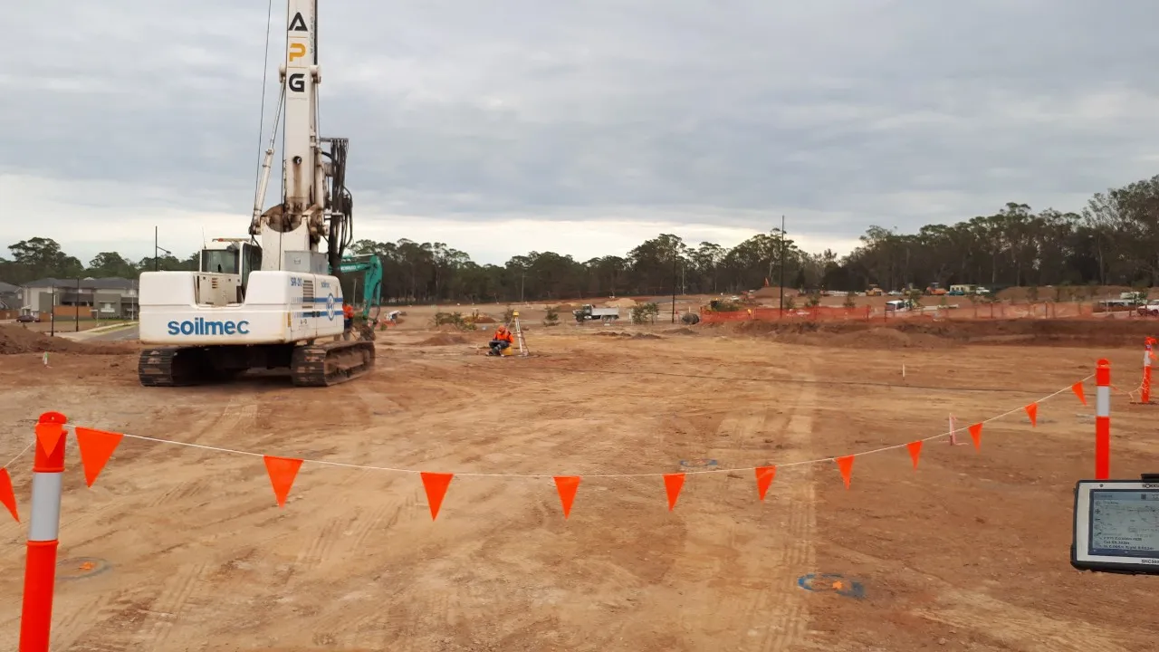
MCS Surveyors deliver fast, accurate survey support for trenching and excavation projects across Sydney.
We understand that even minor excavation works carry major risk if underground conditions are unknown. Striking critical services such as electrical cables, water mains, gas lines or telecommunications conduits can cause injury, delays, and expensive damage. That is why our trenching and excavation surveys provide reliable, real-time utility information to ensure your site is safe, compliant and ready for work to begin.
Whether you are planning a small trench for service installation or undertaking large-scale excavation for civil infrastructure, our surveys equip your team with the data they need to dig safely. Using advanced technology and certified methods, we detect and mark underground assets with precision, so your project can proceed without disruption.
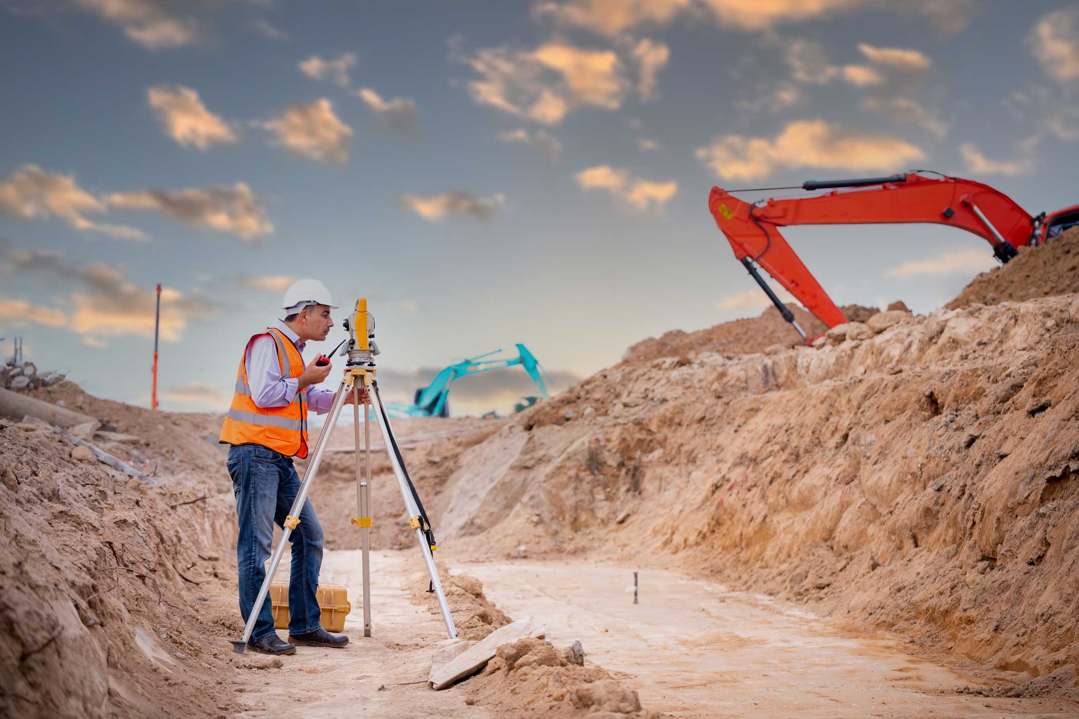
A trenching and excavation survey is a targeted form of underground utility detection designed to support planned excavation work. It involves identifying all subsurface infrastructure within and surrounding the proposed trenching zone, including services that may not be listed on existing plans or DBYD records.
These surveys are typically conducted during the planning and pre-construction phases of a project and are often required by councils, service authorities or principal contractors to reduce the risk of asset strikes. MCS Surveyors deliver a clear mark-out of utility locations, accurate depth readings, and CAD-ready reports for easy integration into design and construction plans.
Our trenching and excavation surveys identify a wide range of underground services and structures, including:
Every survey is customised to the site conditions and construction requirements, ensuring that no critical detail is overlooked.

Our team combines multiple detection methods to provide the most complete and accurate results possible. These include:
GPR technology allows us to detect both metallic and non-metallic utilities, including plastic and concrete pipes that are often missed by other methods. It is especially effective for identifying services at variable depths across diverse soil types.
Using specialised locating wands and signal transmitters, we trace conductive utilities such as copper cables and metal pipes. This method provides precise horizontal and vertical positioning.
In addition to high-tech scanning, our surveyors conduct detailed site inspections to identify surface indicators of underground services, including pits, valve covers and conduits.
We incorporate all available utility records and DBYD plans, cross-referencing them against field findings to verify accuracy and ensure all known assets are accounted for.
These surveys are essential for any project involving excavation or ground penetration, including:
By engaging our team early, you reduce the risk of delays and rework, improve site safety, and ensure compliance with project and regulatory standards.
At MCS Surveyors, we bring over 30 years of combined expertise in construction and utility surveying. Our team is trained, certified and experienced in managing excavation risk across a wide range of civil, commercial and infrastructure projects. We are committed to delivering data that is accurate, clearly presented, and ready for immediate use by contractors, engineers and asset managers.
As part of our comprehensive utility surveying capabilities, we also offer:
These services can be bundled as required depending on the complexity and scope of your project.