Utility Mapping Sydney

  • Avoid costly strikes to water, gas, electrical & communications lines
  • Certified, site-specific data to support excavation & design
  • Protect critical infrastructure and reduce project risks
Contact Us

Get A Quote

Thank you! Your submission has been received!
Oops! Something went wrong while submitting the form.
white inverted divider

Accurate Utility Mapping Services

Accurate underground utility mapping is essential for safe, efficient construction and development. At MCS Surveyors, we provide detailed utility mapping services across Sydney and New South Wales, giving project teams the information they need to avoid costly mistakes, protect critical infrastructure, and maintain safety on site.

Whether you are planning excavation, construction, or design work, understanding the location of underground utilities is the first step to reducing risks and keeping your project on track.

    Contact Us
    Aerial view construction site

    What is Utility Mapping

    Utility mapping, sometimes referred to as subsurface utility surveys or utility locating, is the process of identifying, locating, and mapping underground services across a defined area. These surveys provide accurate, site-specific data about the location and depth of various underground utilities, including:

    • Water and sewer pipelines
    • Gas mains and service lines
    • Electrical cables and conduits
    • Telecommunications and fibre optic infrastructure
    • Stormwater drainage systems
    • Other essential buried services

    Utility mapping plays a critical role in construction, civil works, and infrastructure projects by providing a clear picture of what lies beneath the surface. This information helps project managers, engineers, and contractors avoid accidental utility strikes and plan work safely and efficiently.

      Contact Us

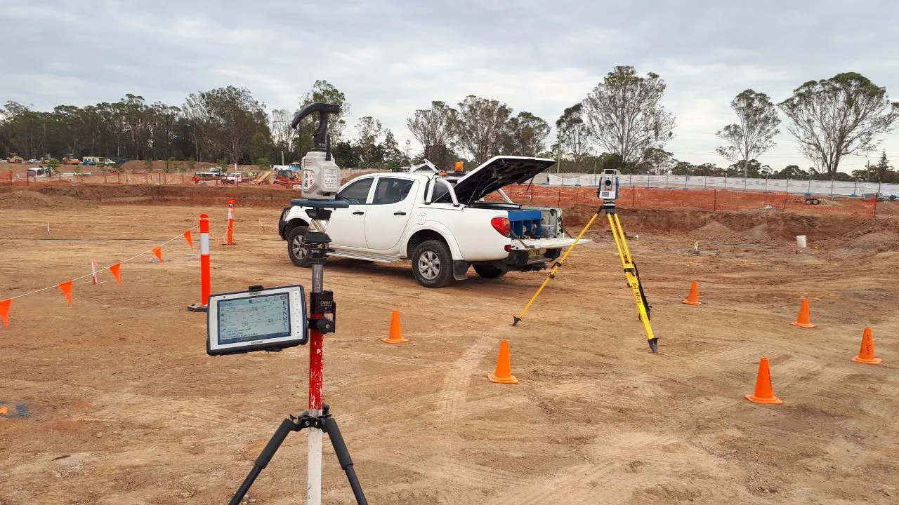
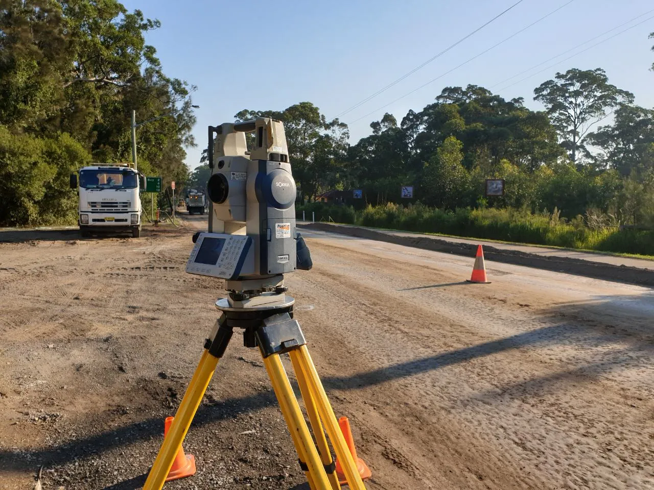
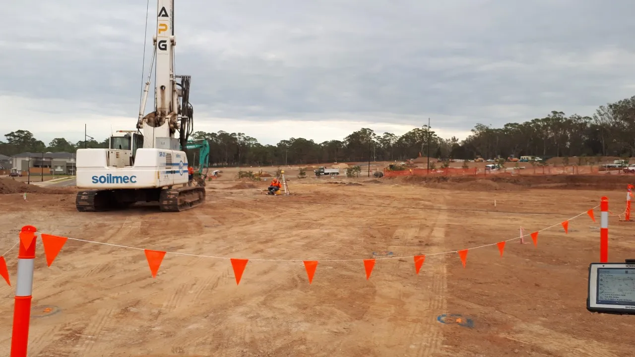
      Why Utility Mapping is Essential for Your Project

      Many construction and development projects encounter delays, safety hazards, or unexpected costs due to unidentified underground services. Without reliable utility mapping, your project is exposed to significant risks, including:

      • Utility strikes causing service outages or dangerous incidents
      • Unexpected costs from emergency repairs
      • Delays to construction schedules
      • Regulatory breaches and potential legal action
      • Safety risks for workers and the public

      Accurate utility mapping reduces these risks by providing clear, verified information before excavation or construction begins. By knowing exactly where utilities are located, your team can plan works more effectively, avoid unnecessary disruptions, and comply with safety regulations.

      Benefits of Professional Utility Mapping

      Engaging experienced surveyors for utility mapping provides a range of practical benefits for your project:

      Risk Reduction

      Utility mapping helps prevent costly and dangerous utility strikes by identifying the precise location and depth of buried infrastructure before excavation begins.

      Improved Safety

      Minimising the risk of striking live services protects workers, the public, and essential infrastructure such as water, gas, electricity, and communications networks.

      Cost Savings

      Avoiding unexpected utility encounters reduces downtime, prevents damage costs, and keeps your project on budget.

      Efficient Project Planning

      Design teams can plan around existing underground services, avoiding conflicts and optimising layouts for new infrastructure.

      Compliance with Regulations

      Many councils, utility providers, and project specifications require comprehensive utility mapping before work can proceed.

      Clear Documentation

      Utility mapping provides a permanent record of underground services for future maintenance, upgrades, or further development.

      When You Need Utility Mapping

      Utility mapping is recommended before undertaking any project involving ground disturbance or new construction. Typical scenarios where our services are essential include:

      • Civil works such as road construction, bridges, and pipelines
      • Residential and commercial developments
      • Industrial site expansions or redevelopments
      • Utility network upgrades or relocations
      • Excavation for foundations, trenches, or retaining walls
      • Infrastructure maintenance or asset management

      By engaging MCS Surveyors early in the project, you can avoid delays, reduce costs, and improve the overall safety and efficiency of your works.

      Contact Us

      Technologies We Use for Accurate Utility Mapping

      Our experienced team combines industry knowledge with advanced technology to deliver reliable utility mapping results. Our capabilities include:

      • Electromagnetic Locating (EML) to trace metallic utilities such as cables and pipes
      • Ground Penetrating Radar (GPR) to detect non-metallic utilities and assess subsurface features
      • GPS and Total Station surveying for precise location and depth measurement
      • Integration of survey data with existing records and utility plans
      • Production of comprehensive maps and reports to support project teams

      We follow industry best practices to ensure the highest levels of accuracy, safety, and compliance for every utility mapping project.

      Our Utility Mapping Services

      MCS Surveyors provides a full range of utility mapping and locating services using advanced equipment and proven methodologies. Our services include:

      Utility Locating

      We use a combination of electromagnetic detection and ground-penetrating radar (GPR) to locate underground utilities with precision.

      Underground Utility Mapping

      Our surveyors map the position, alignment, and depth of buried services, providing accurate plans for use in project design, excavation, and construction.

      Data Integration

      We provide utility mapping outputs in easy-to-read formats including PDF plans, CAD files, and GIS-compatible datasets to integrate with your project systems.

      Verification of Existing Records

      Where available, we cross-check existing utility plans and databases to confirm accuracy and identify undocumented services.

      Ongoing Support

      Our team remains available to assist with follow-up investigations, site changes, and additional surveys as your project progresses.

      We tailor our approach to suit each project’s unique requirements, site conditions, and relevant authority standards.

      Why Choose MCS Surveyors for Utility Mapping

      With extensive experience supporting construction, infrastructure, and development projects across Sydney and NSW, MCS Surveyors is a trusted partner for accurate, reliable utility mapping.

      Our clients choose us for:

      • Qualified, experienced surveyors with in-depth knowledge of underground service locations
      • Advanced detection equipment and modern survey techniques
      • Fast turnaround to meet project deadlines
      • Accurate plans and reports suitable for use by engineers, contractors, and councils
      • Local knowledge of Sydney and NSW infrastructure networks
      • Commitment to safety, compliance, and project success

      We work closely with your project team to ensure underground utilities are accurately identified and mapped, reducing risks and keeping your works on schedule.

      dark divider

      Get In Touch

      Our 30 years of combined experience in this industry has allowed us to consistently provide the best survey services to our clients for their residential, commercial, civil, and industrial properties in Sydney & Wollongong. Get in touch today for free preliminary advice and quote.

      Call Us Now
      Surveyor