Identify stormwater risks and manage flood-affected land with confidence.
MCS Surveyors provide detailed overland flow path surveys for residential, commercial and civil projects across Sydney and New South Wales. These surveys are essential for assessing flood risk, stormwater movement and site suitability, particularly on properties affected by overland flow or located in flood-prone areas.
Our experienced surveyors support engineers, developers, builders and town planners by delivering accurate site data and terrain models that help identify how water flows across a site during heavy rainfall events. This information is crucial for designing compliant developments, avoiding drainage issues and meeting council requirements.
An overland flow path is the route that stormwater takes as it moves across the land surface when rainfall exceeds the capacity of underground drainage systems. These natural or constructed flow paths often occur:
Unlike river or creek flooding, overland flow is typically shallow and fast-moving, but it can still cause significant damage to buildings, landscaping and infrastructure. Understanding how water moves across a site is essential for designing drainage systems and flood-safe developments.
An overland flow path survey is a detailed land survey that captures ground levels, surface features and drainage infrastructure to assess how stormwater travels across a property or site. These surveys are often required for:
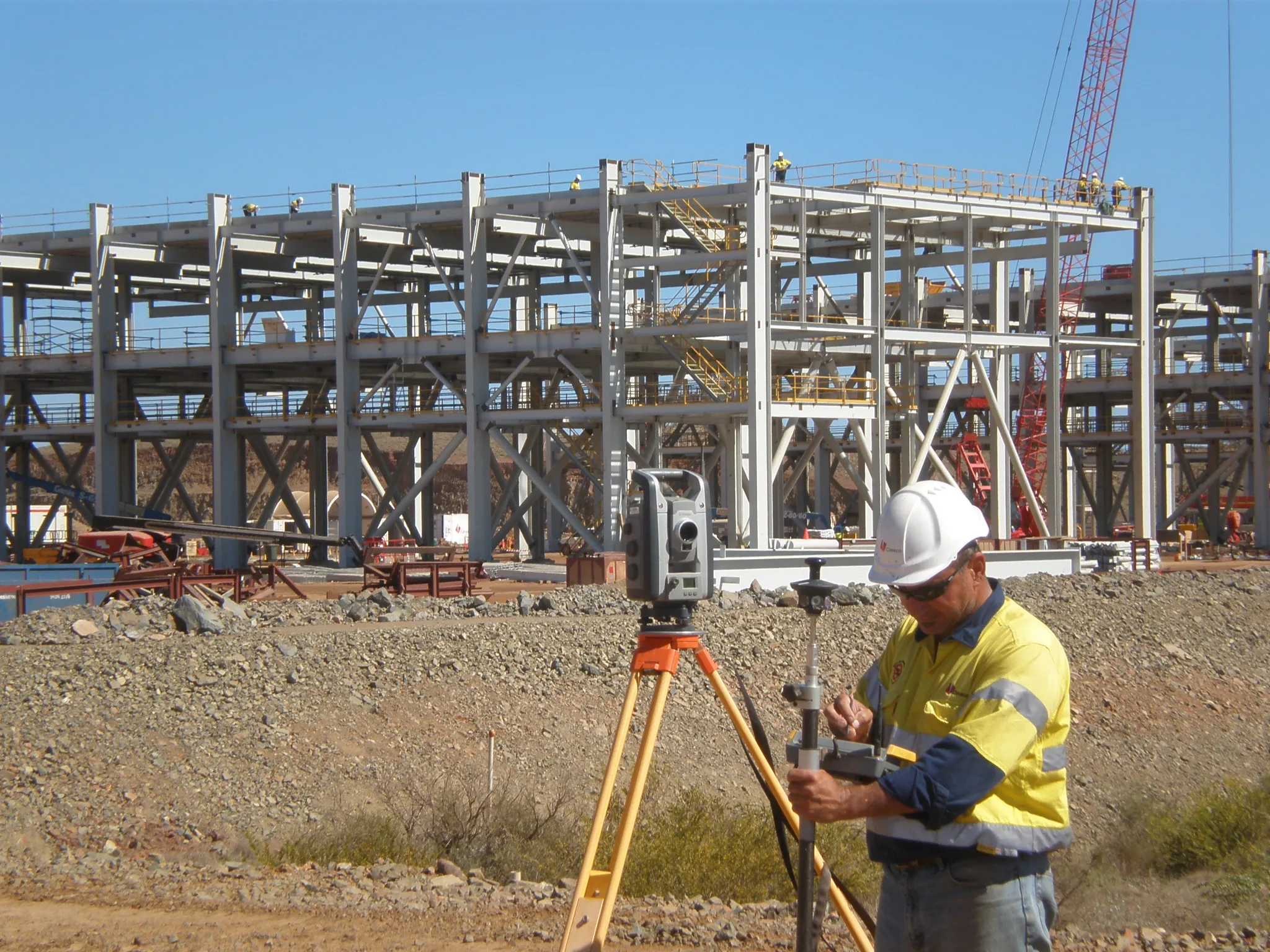
At MCS Surveyors, we use advanced survey equipment to capture high-accuracy level data, drainage points and surface features. This data is used by engineers and flood consultants to model stormwater flow paths and determine if your development can proceed safely and compliantly.
Overland flow path surveys are critical for identifying stormwater risks and ensuring your proposed development or structure does not obstruct the natural flow of water. Without a proper understanding of flow paths, projects may:
Our surveys help you avoid these risks by providing a clear picture of your site’s drainage behaviour under typical and extreme rainfall events. With this information, your engineer or designer can create appropriate solutions, such as elevated slabs, diversion paths, or onsite detention, to manage runoff safely.
MCS Surveyors tailor each survey to the unique conditions and planning requirements of your site. A typical overland flow path survey may include:
We can also overlay survey results with existing council flood mapping to identify the interaction between your site and broader flood risk areas.
You may need an overland flow path survey if:
These surveys are particularly common in urban and suburban areas of Sydney, where stormwater systems may be limited and natural flow paths are affected by development.
We use industry-leading technology and methods to collect accurate and consistent data, even on complex or built-up sites. This includes:
All survey results are presented in clear formats ready for use by engineers, certifiers, town planners and architects.
At MCS Surveyors, we bring over 30 years of combined experience in surveying and land development support. We understand the challenges of working with flood-affected land and overland flow constraints and provide a responsive, reliable service that makes planning easier.
Why clients choose us:
From small suburban blocks to large-scale subdivisions, we deliver the data you need to manage risk, meet compliance and move forward with confidence.