Conduit & Pit Location Surveys Sydney

Identify and map underground utility infrastructure before you dig. MCS Surveyors provide certified conduit and pit location surveys across Sydney and regional New South Wales.

  • Accurately locate telecom, electrical, and stormwater pits before excavation
  • Prevent costly service strikes and ensure site safety
  • Certified surveyors using GPR and electromagnetic locating tools
Contact Us

Get A Quote

Thank you! Your submission has been received!
Oops! Something went wrong while submitting the form.
white inverted divider

Avoid Costly Mistakes with Certified Subsurface Surveys

Accurate identification of subsurface assets is essential to ensure safe, compliant, and efficient construction or excavation activities. MCS Surveyors provide professional conduit and pit location surveys to detect and map critical underground infrastructure. These surveys focus on identifying telecommunications pits, electrical conduits, stormwater pits, and other service access structures that may be hidden from view but are vital to your project’s success.

Whether you are installing new utilities, working in a congested service corridor, or managing infrastructure upgrades, we deliver the data you need to proceed with confidence. Our experienced team combines proven techniques with advanced locating equipment to provide accurate, non-destructive surveys tailored to your site.

Contact Us

What Is a Conduit & Pit Location Survey?

A conduit and pit location survey is a specialised service that focuses on locating subsurface conduits and utility access points such as pits, manholes, and junction boxes. These structures often house or connect essential services such as power, communications, stormwater, and water reticulation systems. Without accurate information about their position and depth, there is a high risk of accidental damage, service disruption, and project delays.

Our surveys are designed to detect and map these features before excavation or design work begins. We locate all visible and subsurface access points and conduit runs using a combination of site inspection, electromagnetic detection, and ground penetrating radar. We then present this information clearly, so you and your project team can make informed, safe decisions on site.

What Do We Locate?

We are able to identify and map a wide range of pit and conduit infrastructure, including:

  • Telecommunications pits, including NBN and Telstra
  • Electrical conduits and jointing pits
  • Fibre optic lines and enclosures
  • Stormwater pits and access chambers
  • Redundant or unidentified utility pits
  • Manholes and subsurface service junctions

Each survey is customised to the type of infrastructure expected on site and the scope of your project, whether for new development, utility upgrades, or infrastructure maintenance.

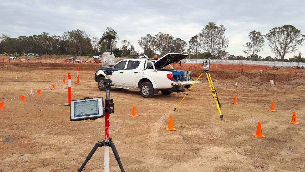
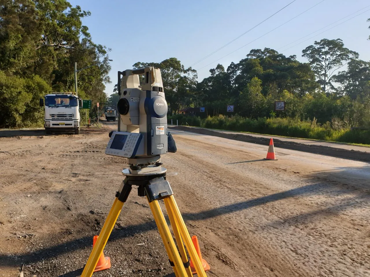
Why Accurate Data Matters

Subsurface access points such as pits and manholes are often the hubs of essential infrastructure. If not identified early, they can become obstacles during construction or be mistakenly damaged during trenching and excavation. Damaging a fibre optic connection or electrical pit can result in serious safety incidents, costly rework, or loss of service to critical facilities.

Engaging MCS Surveyors to perform a conduit and pit location survey means you gain a clear picture of what lies beneath the surface. This prevents unforeseen conflicts, improves safety outcomes, and ensures you meet your duty of care under workplace health and safety regulations. Our surveys also assist with accurate design alignment, helping engineers and planners develop solutions that avoid existing services and allow for efficient installation.

How We Conduct Conduit and Pit Location Surveys

We follow a structured and proven approach to each survey, combining visual, manual, and electronic methods to ensure all features are properly accounted for. Our process includes:

Site Inspection and Surface Feature Identification

Our team conducts a full walkover of the site to identify any surface indicators of subsurface infrastructure, such as pit lids, valve boxes, or utility markers.

Electromagnetic Locating

Using electromagnetic detection tools, we trace conductive services such as electrical conduits and copper telecom lines. This allows us to identify the alignment and depth of services connected to known pits or junction boxes.

Ground Penetrating Radar (GPR)

GPR is used to detect non-metallic conduits, concrete pits, and plastic utility structures that do not emit electromagnetic signals. It is especially effective in areas where surface features are not visible or services are buried at varying depths.

Integration of Utility Records

We review and incorporate any available DBYD or asset owner records into our analysis, comparing them to our field findings to ensure accuracy and fill in any data gaps.

Mark Out and Reporting

Once detection is complete, we provide clear, on-site markings to identify conduit paths and pit locations. We also offer detailed utility plans in CAD or PDF format, making it easy to integrate our findings into your construction or design documents.

Surveyor

Who Should Use This Service?

Our conduit and pit location surveys are suitable for a wide range of professionals and industries, including:

  • Telecommunications contractors and infrastructure providers
  • Civil contractors and electrical installers
  • Local councils and utility managers
  • Builders and engineers working in service-heavy environments
  • Developers working on infill, brownfield, or urban renewal projects

Whether you are installing new pits, upgrading existing services, or verifying known infrastructure before construction, our team will deliver the insights you need to reduce risk and stay compliant.

Why Choose MCS Surveyors?

MCS Surveyors are committed to delivering accurate, reliable, and timely utility data for projects of all sizes. With over 30 years of combined industry experience, we are trusted by contractors, councils, and consultants across Sydney and regional New South Wales. We are known for our responsiveness, attention to detail, and practical knowledge of subsurface infrastructure.

  • Certified Surveys
    All conduit and pit location surveys are performed in accordance with the Australian Standard AS5488 for subsurface utility information. We provide Quality Levels A to D depending on your project’s requirements.
  • Non-Destructive Methods
    Our locating techniques are completely non-invasive and pose no risk to existing services or surrounding infrastructure. This helps maintain safety and minimise site disruption.
  • Clear, Usable Results
    We deliver reports and plans that are easy to interpret, ready to use in engineering workflows, and tailored to your needs.
  • Fast Turnaround Times
    We understand the importance of time in construction and development. Our team prioritises efficiency, delivering results promptly to keep your project moving.

Related Services

We offer a full suite of underground utility surveys to complement your conduit and pit location needs, including:

These services can be integrated into a comprehensive survey package depending on your site conditions and project requirements.

dark divider

Book a Conduit and Pit Location Survey

If you are planning excavation, trenching, or utility works, do not risk hitting unmarked infrastructure. Contact MCS Surveyors today to schedule a certified conduit and pit location survey. Our experienced team will help you uncover what is below and keep your project on track from day one.

Call Us Now
Surveyor