Watercourse & Drainage Channel Surveys Sydney

Professional surveys for creeks, waterways, culverts and stormwater channels across Sydney.

  • Trusted by engineers, councils and developers across Sydney and NSW
  • Fast turnaround with clear, regulation-ready survey data
  • Identify flow paths, invert levels, erosion risks and more
Contact Us

Get A Quote

Thank you! Your submission has been received!
Oops! Something went wrong while submitting the form.
white inverted divider

Reliable Survey Data for Drainage & Flood Assessments

Understanding the location, condition and behaviour of natural and constructed watercourses is critical to safe, compliant and sustainable development. MCS Surveyors provide accurate watercourse and drainage channel surveys for residential, commercial, civil and infrastructure projects across Sydney.

Whether you are planning a new development, upgrading stormwater infrastructure or completing a flood study, our team delivers precise data to support informed decision-making, regulatory compliance and long-term drainage performance.

Contact Us

What Are Watercourse and Drainage Channel Surveys?

Watercourse and drainage channel surveys involve the detailed mapping of natural or man-made water features, such as creeks, rivers, culverts, swales, open drains and stormwater channels. These surveys capture the alignment, depth, width, levels and cross-sectional profiles of watercourses, as well as surrounding terrain and infrastructure.

This information is essential for:

  • Flood risk assessments and flood modelling
  • Stormwater drainage design
  • Environmental impact assessments
  • Infrastructure planning and upgrades
  • Waterway protection and erosion control
  • Development applications on flood-affected or water-adjacent land

Why Are These Surveys Important?

Waterways and drainage channels are dynamic systems that can impact the safety, functionality and approval of your development. Accurate survey data helps identify risks, design effective stormwater solutions and satisfy the requirements of local councils, water authorities and environmental regulators.

You may need a watercourse or channel survey when:

  • Your site is near a creek, river or stormwater drain
  • You are proposing a new development or subdivision in a flood-affected area
  • You need to design or upgrade culverts, bridges or open channel drainage
  • Council or your civil engineer has requested terrain or cross-section data for hydraulic modelling
  • You are applying for a development application (DA) or complying development certificate (CDC)
Surveying camera
Bridge

What We Include in a Watercourse or Drainage Channel Survey

Every site is different, but a typical watercourse or drainage channel survey may include:

  • Longitudinal sections along the watercourse or drain
  • Cross-sectional profiles at specified intervals
  • Bed and bank levels, top of bank, and invert levels
  • Width and depth of the channel or creek
  • Flow direction and alignment of the watercourse
  • Structures such as culverts, headwalls, bridges or erosion controls
  • Adjacent property boundaries, easements and setback lines
  • Digital terrain models and CAD/3D data for flood modelling

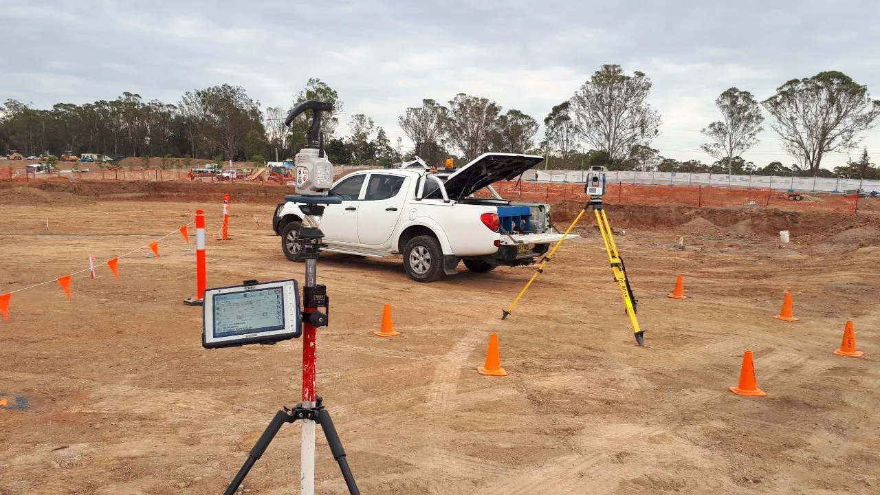
We use advanced surveying equipment including GNSS, robotic total stations and 3D laser scanning to ensure accurate, high-resolution data. Our deliverables are tailored to suit your project needs, engineering standards and submission requirements.

Who Needs a Watercourse or Channel Survey?

These surveys are commonly required by:

  • Civil engineers and hydraulic consultants for drainage modelling
  • Property developers and builders preparing DAs or CDCs
  • Councils and government agencies managing stormwater infrastructure
  • Environmental consultants conducting impact assessments
  • Infrastructure contractors working on bridges, culverts or channel upgrades

If your development site is within proximity to a watercourse or mapped drainage channel, survey data is likely to be a council requirement during the planning phase.

Supporting Flood Resilience & Sustainable Design

We understand the growing importance of flood resilience and water-sensitive urban design. Our surveys play a key role in ensuring new developments:

  • Respect natural overland flow paths
  • Avoid encroachment on riparian corridors
  • Provide adequate stormwater capacity and outlet design
  • Minimise environmental impact to nearby waterways
  • Meet setback and drainage requirements under local planning schemes

We work closely with engineers, town planners and environmental professionals to provide the information they need for responsible, efficient design.

Why Choose MCS Surveyors?

With over 30 years of combined experience in land and civil infrastructure surveying, MCS Surveyors is trusted by councils, engineers and developers across Sydney and New South Wales.

We offer:

  • Prompt site attendance and fast turnaround
  • Fully qualified and insured surveying professionals
  • Surveys tailored for engineering, planning and council submission
  • Clear communication and expert guidance at every stage
  • Accurate digital deliverables in the formats you need

From small infill projects to major infrastructure works, we provide reliable survey data that supports effective drainage design and protects both property and community from water-related risks.

dark divider

Book Your Survey Today

If your site is located near a creek, drainage easement or open channel, get in touch with MCS Surveyors. Our experienced team can assess your requirements and provide a detailed, site-specific watercourse survey that keeps your project on track and fully compliant.

Call Us Now
Surveyor