Topographic Surveys

Accurate site mapping for smarter design and planning.

  • Clear, detailed plans accepted by architects and councils
  • Ideal for development applications and new builds
  • Advanced equipment used for precise elevation mapping
Contact Us

Get A Quote

Thank you! Your submission has been received!
Oops! Something went wrong while submitting the form.
white inverted divider

Reliable Topographic Data to Guide Your Project

When starting any construction or renovation project, understanding the physical characteristics of your site is essential. A topographic survey provides the foundation for confident planning, informed design decisions, and smoother approval processes. MCS Surveyors provides professional topographic surveys across Sydney and NSW, supporting residential, commercial, and civil developments of all sizes.

Whether you are building a new home, planning an extension, or submitting a development application, a clear understanding of your site’s elevations and features helps reduce risk, avoid costly surprises, and ensure compliance with local regulations.

Contact Us

What Is A Topographic Survey?

A topographic survey is a detailed measurement and mapping of the natural and built features of a parcel of land. These surveys capture both the physical terrain and existing structures within and around the site.

Typical features identified in a topographic survey include:

  • Ground levels and contours
  • Trees, shrubs, and landscape features
  • Buildings, garages, sheds, and other structures
  • Retaining walls, fences, and boundary features
  • Driveways, kerbs, and road alignments
  • Utility points and visible services

Using the latest survey equipment, our team collects accurate data and presents it as a site plan showing relative levels, features, and spatial relationships. This information is used by architects, engineers, planners, and builders to design safely and in accordance with council guidelines.

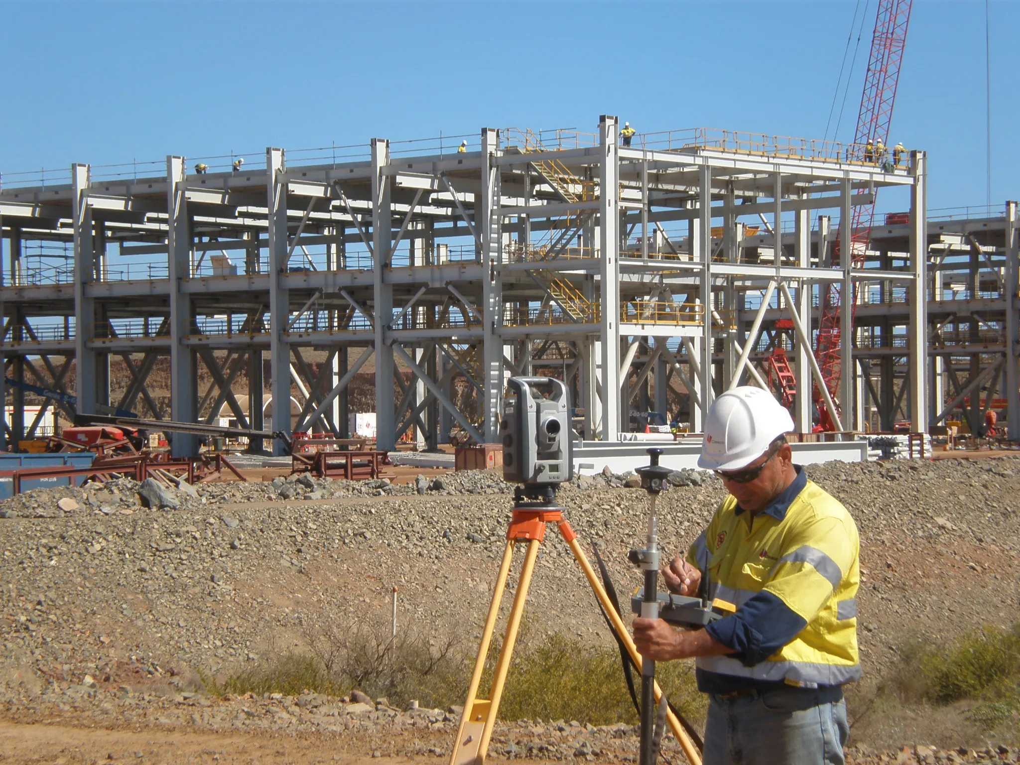
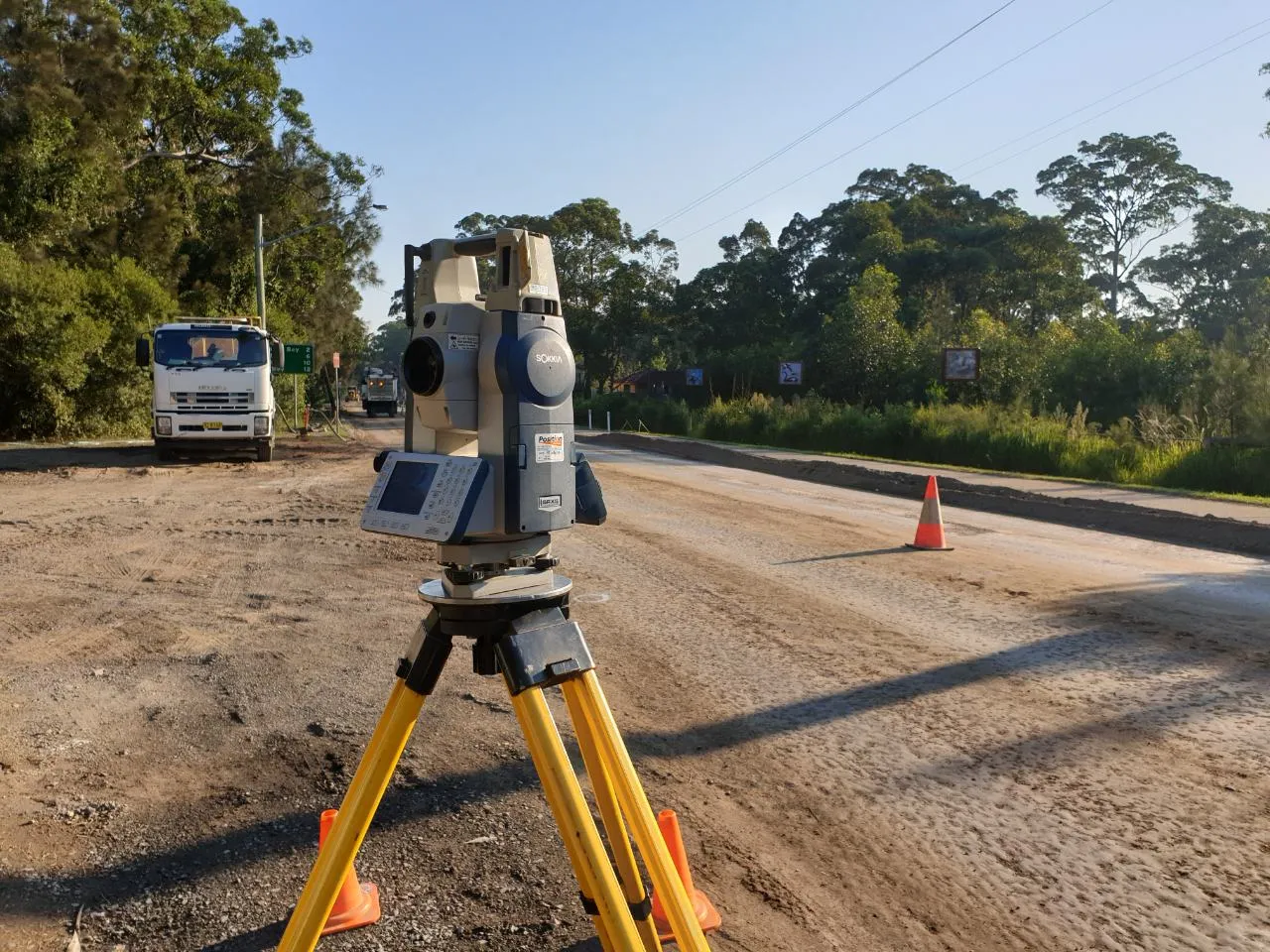
Why Are Topographic Surveys Important?

Topographic surveys are critical at the early stages of planning and design. They provide the essential data that underpins layout decisions, structural planning, drainage design, excavation requirements, and council submissions.

Some common reasons a topographic survey may be required include:

  • Designing a new home, renovation, or extension
  • Preparing a development application (DA)
  • Assessing the slope or fall of the land
  • Planning landscaping works or pool installations
  • Designing driveways, retaining walls, or access points
  • Preparing subdivision or building feasibility studies

Without an accurate understanding of land levels and site features, there is a greater risk of errors, increased construction costs, and delays during the approval process.

Contact Us

What Is Included In A Topographic Survey?

MCS Surveyors produces comprehensive topographic survey plans that include:

  • A scaled site plan showing all visible features
  • Contour lines showing ground elevation, usually at 0.25 or 0.5 metre intervals
  • Spot levels for localised elevation data across the site
  • Positions and descriptions of trees and vegetation
  • Outline of existing buildings and structural improvements
  • Road alignment, kerbs, driveways, and crossovers (where relevant)
  • Utility service locations visible above ground

We use advanced surveying equipment including robotic total stations and laser scanners to ensure high levels of accuracy. Our plans are clear, detailed, and ready for use by architects, designers, certifiers, or councils.

Contact Us

Who Needs A Topographic Survey?

Topographic surveys are used across a wide range of industries and projects. You may benefit from a topographic survey if you are:

An Architect or Designer

You need to understand the site's contours, structures, and constraints to produce accurate and functional designs.

A Homeowner

If you are planning to build, extend, or landscape, a survey ensures your plans are feasible and reduces the risk of issues during approval.

A Builder or Contractor

Knowing the existing levels and conditions helps with planning earthworks, foundations, and service connections.

A Developer

Topographic surveys are used in early-stage feasibility assessments and can support subdivision, drainage, and access planning.

Even a seemingly flat block of land may have minor elevation changes that affect water runoff, excavation costs, and structural design. A topographic survey ensures no critical information is missed.

When Should A Topographic Survey Be Completed?

Ideally, a topographic survey should be one of the first steps in your project. Engaging a qualified surveyor early in the design phase can help:

  • Avoid the need for redesigns later
  • Ensure compliance with council and planning requirements
  • Inform more accurate cost estimates
  • Reduce delays in documentation or approval

We recommend completing a survey before engaging an architect or submitting any plans to the council. Our team will work with you to ensure the data captured aligns with the specific requirements of your design or approval application.

Contact Us
flags

Topographic Survey vs Detail & Boundary Identification Survey

While a topographic survey focuses on capturing surface features and elevations, it does not provide certified boundary positions. If your project also requires confirmation of exact legal boundaries, a detail and boundary identification survey may be more appropriate.

A detail and boundary identification survey includes everything in a topographic survey but also involves:

  • Investigation of legal title and deposited plans
  • Boundary marking and verification by a registered surveyor
  • Identification of any encroachments or restrictions affecting the site

Some councils and private certifiers now require a boundary survey in addition to a topographic survey, especially where setbacks, easements, or neighbouring structures are involved. We can advise you on which survey is appropriate for your needs and assist with both.

Why Choose MCS Surveyors?

Our team brings over 30 years of combined experience to every survey we complete. Our team is highly skilled, fully qualified, and dedicated to delivering timely, accurate, and council-compliant results.

When you choose us for your topographic survey, you can expect:

  • Clear, detailed plans ready for immediate use
  • Fast turnaround times to keep your project on schedule
  • Honest, expert advice based on years of industry knowledge
  • Friendly service and transparent communication from start to finish

We work closely with homeowners, builders, architects, and developers across Sydney and beyond, supporting projects of every size and scope.

Get Started Today

If you are planning to build, renovate, or lodge a development application, get in touch with MCS Surveyors to arrange a topographic survey. Our professional team will ensure your project starts with the clarity and accuracy it needs to succeed.

Contact us today for a tailored quote or to learn more about how a topographic survey can support your next project.

Contact Us
dark divider

Get In Touch

Our 30 years of combined experience in this industry has allowed us to consistently provide the best survey services to our clients for their residential, commercial, civil, and industrial properties in Sydney & Wollongong. Get in touch today for free preliminary advice and quote.

Call Us Now
Surveyor