Ensure your property complies with local flood planning controls.
If your site is located in a flood-prone area, verifying the natural ground level or proposed floor level against council’s flood planning levels is essential before construction can proceed. At MCS Surveyors, we deliver fast, reliable flood level verification surveys to confirm compliance with flood control requirements and provide the documentation needed for approvals.
Whether you are lodging a Development Application, applying for a Complying Development Certificate, or planning a new build in a flood-affected zone, our team ensures your project begins on a solid foundation. With over 30 years of combined experience, we provide survey data that is trusted by councils, architects, builders, and certifiers throughout Sydney and surrounding regions.
A flood level verification survey is a certified land survey used to measure existing ground levels and compare them to the applicable flood planning levels set by local councils. These levels are generally expressed in terms of Reduced Levels (RLs) relative to the Australian Height Datum (AHD). The purpose of this survey is to confirm whether a site is compliant with flood-related development controls or if mitigation measures are required.
Unlike a full flood study, which models the movement and depth of water across a site, a flood level verification survey simply confirms the elevation of your land or proposed floor slab in comparison to council's mapped flood planning level. This verification is often mandatory to demonstrate that a dwelling or structure will be positioned above the designated flood risk level.
Flood level verification surveys are typically required at various stages of property development or assessment, including:
If your land has been identified by council as flood-affected or partially flood-prone, this survey is usually a prerequisite to obtain planning or construction approvals.
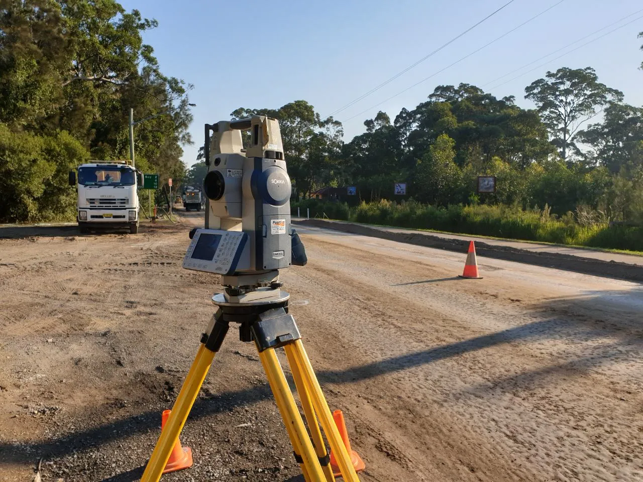
MCS Surveyors conduct flood level verification surveys using high-precision equipment to ensure your data is accurate, clear, and suitable for submission. Our typical survey includes:
If required, we can also provide a cover letter or explanatory notes to assist with the planning assessment process.
Our survey process is straightforward, efficient, and designed to meet the requirements of local councils and private certifiers:
We review your site’s flood status using council flood planning maps, overlays, and development control plans. This ensures that we understand the applicable flood planning level for your land.
Using robotic total station and GNSS equipment, our team measures the natural ground level and any relevant floor levels on site. We reference these measurements to the closest known Permanent Survey Mark to ensure consistency with AHD.
We process the data, prepare a detailed plan showing the measured RLs, and compare the results against council requirements. A formal certificate is then issued and delivered in both CAD and PDF formats for use by your certifier or design team.
We are available to liaise with your architect, builder, or certifier to explain findings, provide supplementary documentation, or respond to requests for further clarification during the assessment process.
Flood level verification surveys are used by a wide range of property professionals and owners, including:
We work with clients across all stages of the development cycle, from initial feasibility through to project completion and handover.
At MCS Surveyors, we are committed to delivering clear, compliant, and reliable flood level data that supports timely approvals and peace of mind. With extensive experience across flood-affected regions of Sydney, we understand the local planning context and deliver reports that meet council expectations.
To support your full planning and compliance needs, we also offer:
These services can be combined to deliver a comprehensive solution for flood-prone development sites