Underground Asset Management Surveys Wollongong

MCS Surveyors provides accurate underground asset management surveys in Wollongong to help identify and map buried utilities before excavation or construction begins. Our services reduce risk, prevent costly damage, and keep your project running safely and smoothly.

Get A Quote

Thank you! Your submission has been received!
Oops! Something went wrong while submitting the form.
white inverted divider

Protect Your Project with Accurate Underground Utility Surveys

At MCS Surveyors, we provide underground asset management surveys across Wollongong to help you locate and map critical subsurface infrastructure before work begins. Our surveys identify underground utilities such as water, gas, electricity, and communications lines—reducing the risk of service strikes, unexpected delays, and costly damage. Whether you're planning a construction project, excavation, or utility upgrade, our accurate data supports safer decisions and ensures compliance with local development requirements.

Contact Us

Supporting Safe Construction with Reliable Data

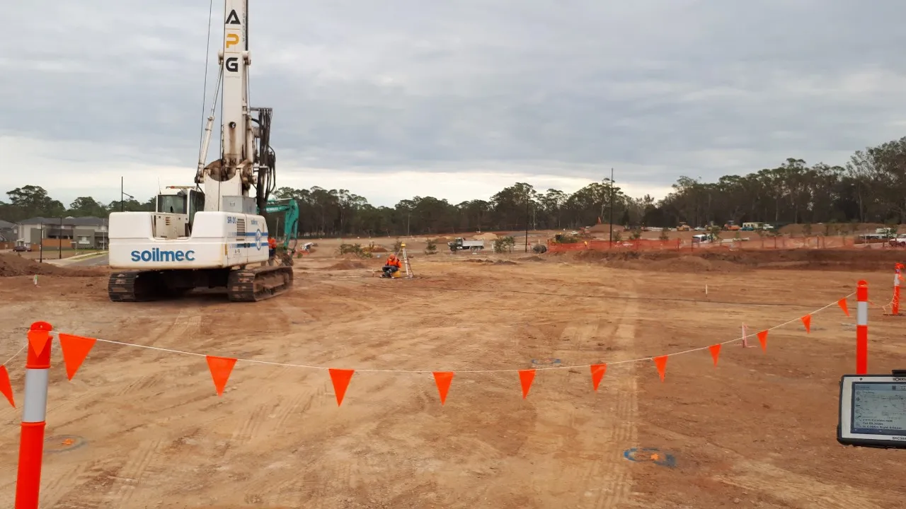
Accurate knowledge of what lies beneath the surface is essential for avoiding service strikes, ensuring worker safety, and meeting project timelines. Underground utilities—such as water mains, gas lines, electrical conduits, telecommunications cables, and stormwater systems—must be properly identified before any excavation or construction begins. At MCS Surveyors, we combine proven surveying techniques with advanced detection technologies, including ground penetrating radar (GPR), electromagnetic locators, and non-destructive methods. This allows us to deliver precise, up-to-date utility maps with minimal site disruption, helping project teams make informed decisions from day one.

Core Underground Asset Management Services

We offer a range of underground utility surveys tailored to your project's needs:

These services support design planning, reduce construction risk, and help ensure site safety and compliance with Wollongong’s development guidelines.

Certified and Committed to Accuracy

At MCS Surveyors, we maintain strict standards in underground utility detection to ensure every survey is reliable, detailed, and fit for purpose. Our underground asset surveys are conducted in line with the Australian Standard AS5488, delivering Quality Levels A through D depending on your project's requirements. Whether you're in the early planning stages or finalising construction designs, we provide the right level of data accuracy to support safe excavation, risk reduction, and compliance.

Our experienced team collaborates closely with engineers, designers, builders, and service authorities to ensure all known and detected underground services are clearly identified and mapped. By addressing asset locations early, we help you avoid unexpected conflicts, reduce rework, and protect infrastructure throughout every stage of construction.

Contact Us

Understanding Survey Accuracy: Quality Levels A to D

At MCS Surveyors, we classify underground asset data using the AS5488 Standard, which defines four Quality Levels to indicate the accuracy and reliability of utility information. Each level supports different stages of a project and carries a corresponding level of confidence:

We tailor each survey to match your site conditions, project phase, and level of required certainty—ensuring your team can make confident, well-informed decisions before groundworks begin.

Why Choose MCS Surveyors?

  • Local Knowledge
  • We understand Wollongong’s underground networks and site conditions.
  • Non-Destructive Detection
  • Safe, accurate surveys with minimal disruption.
  • Clear Utility Reports
  • Detailed, easy-to-use data for fast, informed decisions.
  • Fastest Turnaround in the Industry
  • No one delivers underground utility surveys faster—helping you avoid delays and keep your project moving.

Common Questions: Underground Utility Surveys

Find clear answers to common questions about identifying and mapping underground services before starting any construction or excavation work.

What is underground asset management surveying?

Underground asset management surveying involves locating, mapping, and documenting buried infrastructure such as water pipes, gas lines, electrical conduits, and telecommunications cables. These surveys help prevent service strikes, support safe excavation, and assist with planning and design.

Do I need an underground utility survey before starting construction?

Yes—if your project involves any form of excavation or ground disturbance, an underground utility survey is essential. It identifies the location of existing services, helping you avoid costly delays, damage, and safety hazards.

What types of utilities can you detect and map?

We can locate and map a wide range of subsurface utilities, including water mains, sewer lines, gas pipes, stormwater infrastructure, electrical cables, telecommunications, and fibre-optic lines. Our surveys also include pit and conduit locations, overland flow paths, and service connections.

What technology do you use to detect underground services?

We use a combination of Ground Penetrating Radar (GPR), electromagnetic locating equipment, and non-destructive excavation methods (such as potholing or vacuum excavation) where required. This ensures accurate and safe detection without damaging existing infrastructure.

What is the difference between a DBYD request and a professional utility survey?

Dial Before You Dig (DBYD) provides records of underground assets based on utility plans, which may be outdated or incomplete. A professional utility survey physically detects and verifies service locations on site, delivering far greater accuracy for construction or design.

How accurate are your underground utility surveys?

Our surveys can be delivered to industry-recognised AS5488 Quality Levels A to D, depending on the level of accuracy required. Quality Level A involves physical exposure and is the most precise, while Level D is based on existing records.

How quickly can I get the results?

MCS Surveyors offers the fastest turnaround times in the industry. Most underground utility surveys are completed and delivered within a few business days, depending on site size and complexity.

What formats will the survey data be delivered in?

We provide survey data in PDF, DWG/CAD, and other formats compatible with engineering, design, and project management software. If your team needs TIN or 3D outputs, we can accommodate those as well.

dark divider

Get Started

Whether you’re working on a residential subdivision, commercial project, or infrastructure upgrade, our underground asset management surveys give you the clarity and confidence you need.

Contact MCS Surveyors today to discuss your project or request a quote.

Call Us Now
Surveyor