Accurate pipeline surveys for infrastructure, utilities and civil works.
MCS Surveyors provide high-precision pipeline surveying services to support the planning, design, construction and management of underground utility infrastructure across Sydney and regional New South Wales. Whether you are installing new pipelines, updating existing services, or conducting as-built documentation, our experienced team delivers reliable survey data that ensures accuracy, safety and long-term compliance.
With over 30 years of experience in civil and infrastructure surveying, MCS Surveyors is a trusted partner to utility providers, civil contractors, engineers and local councils. We use advanced positioning technology and robust field methods to deliver consistent, certified results tailored to your project’s needs.
A pipeline survey is a detailed measurement of the position, alignment and elevation of underground pipelines such as:
These surveys are used during all stages of the pipeline lifecycle, including feasibility, route planning, construction set out, compliance, and as-constructed documentation.
Our surveys help ensure that pipelines are installed within the approved design corridor, meet regulatory requirements, and avoid conflicts with other underground assets.
Pipeline surveying is essential for a wide range of civil, commercial and infrastructure projects. You may need one when:
Whether you are building a new subdivision, upgrading a utility corridor, or developing public infrastructure, our surveys support every stage of the pipeline process.
MCS Surveyors tailor each pipeline survey to your scope of work, but a typical pipeline survey may include:
We deliver your survey data in clear, compliant formats suitable for engineering design, construction, council lodgement or digital integration.
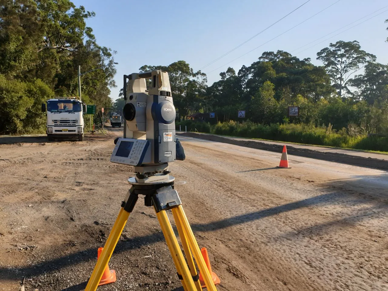
Our team employs advanced survey tools to deliver pinpoint accuracy on even the most complex pipeline projects:
All data is checked, processed and signed off by registered professionals to meet legal and project-specific requirements.
We collaborate with your engineers, contractors or project managers to define survey scope, accuracy requirements and deliverables.
Our team attends the site with the appropriate technology to map, locate and measure the pipeline or corridor as needed.
We process the collected data to create clear, accurate plans or digital models, depending on your project needs.
Final survey plans are checked, certified by a registered surveyor, and delivered in your preferred format (PDF, DWG, GIS-compatible, etc.).
We remain available throughout the project to assist with resurveying, progress checks, variations, or certification updates.
We understand that reliable survey data is essential to prevent costly delays, reduce rework, and deliver infrastructure that performs over the long term.
Our pipeline surveying services are trusted across a wide range of sectors: