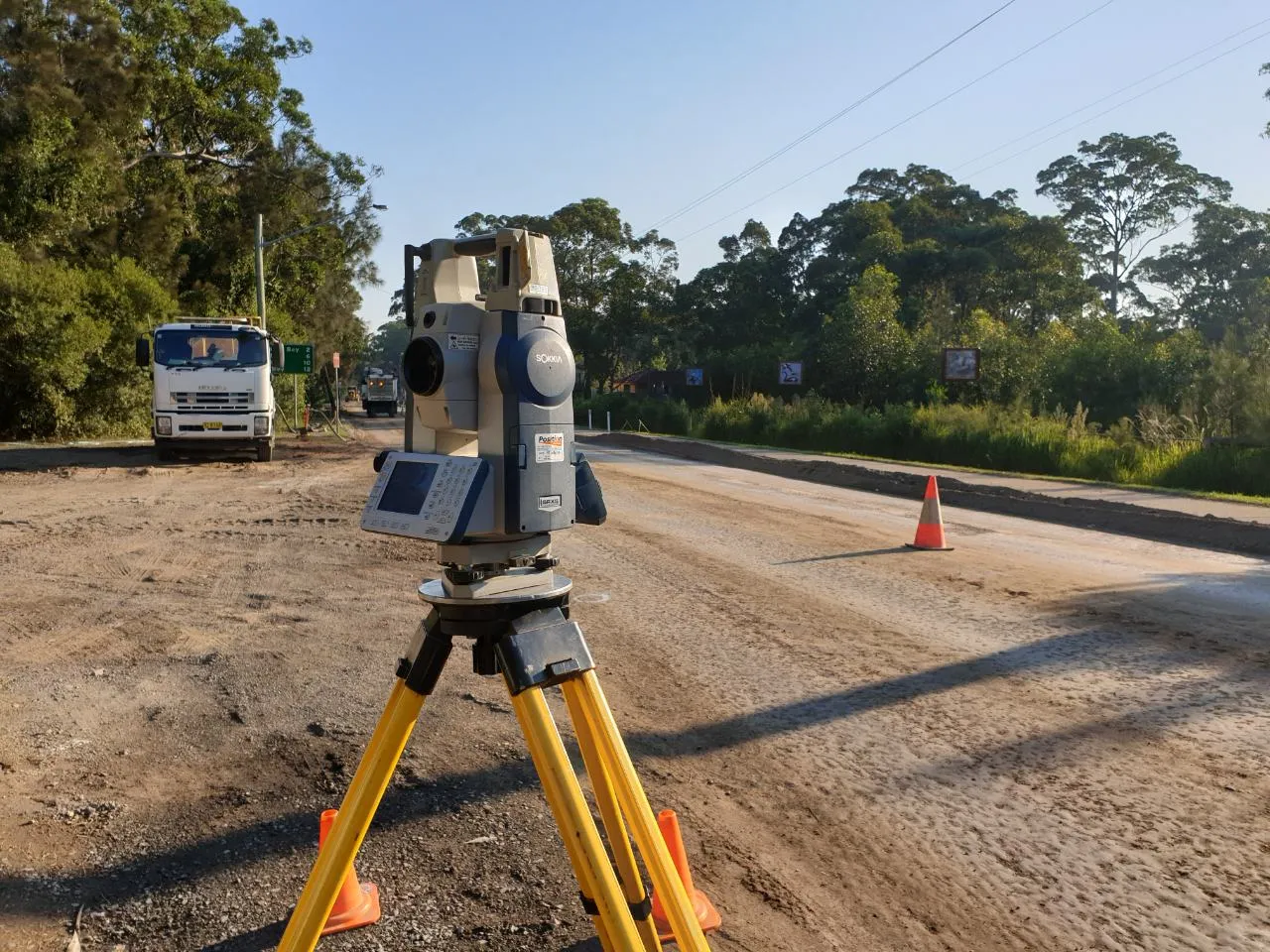
Detailed surveying for stormwater, drainage and hydrological catchments.
MCS Surveyors provide precise catchment area surveys to support civil infrastructure, stormwater planning, environmental assessments and development compliance across Sydney.. Whether you are preparing a flood study, designing a drainage system or developing a subdivision, understanding your site's catchment area is essential for managing stormwater runoff, protecting natural waterways and satisfying council or environmental requirements.
Our team works closely with hydraulic engineers, town planners and environmental consultants to deliver accurate survey data that defines how surface water moves across land and how your site contributes to larger stormwater systems and water-sensitive catchments.
A catchment area survey maps the extent of land that collects and drains surface water to a common outlet such as a stormwater system, detention basin, natural waterway or culvert. It involves surveying topography, ground levels, drainage features and site boundaries to identify the contributing catchment and assess how water flows into and out of the site.
Catchment surveys are often used to support:
Our surveys provide the foundational data required for engineers to model stormwater flows, calculate runoff volumes, and design appropriate mitigation systems.
Catchment surveys are critical to understanding the movement of stormwater at both local and regional scales. Without accurate data on catchment boundaries, slope direction, and contributing areas, developments risk:
We ensure your project is supported by reliable, site-specific survey data that helps you design, assess and plan with confidence.
Each catchment area survey is tailored to the specific site, project stage and reporting requirements. Our typical survey deliverables include:
We coordinate closely with engineering consultants to ensure our data is compatible with their drainage or hydraulic modelling tools, such as MUSIC, DRAINS or TUFLOW.
Catchment area surveys are used across a wide range of sectors, including:
Whether your project involves a single allotment or a complex urban catchment, MCS Surveyors can scale our surveying and reporting to suit your needs.
We use advanced surveying equipment and modelling tools to deliver high-accuracy catchment surveys. Our typical workflow includes:
All survey results are reviewed and verified for quality, consistency and usability in engineering design and reporting.
With over 30 years of experience in civil, environmental and stormwater-related surveying, MCS Surveyors is trusted by consultants, engineers and developers to deliver clear, reliable and compliant data.
Why work with us:
Our team understands the importance of accurate data in managing flood risk, protecting water quality and achieving regulatory compliance.