
Pre-Construction Surveys
Topographic and feature surveys
Detailed mapping of the existing site including ground levels, roads, services, kerbs and drainageRoad corridor and alignment surveys
Marking road centrelines and boundaries to support design development and site feasibilityUtility and service locating
Mapping of underground services such as stormwater, electrical and telecommunications prior to excavation
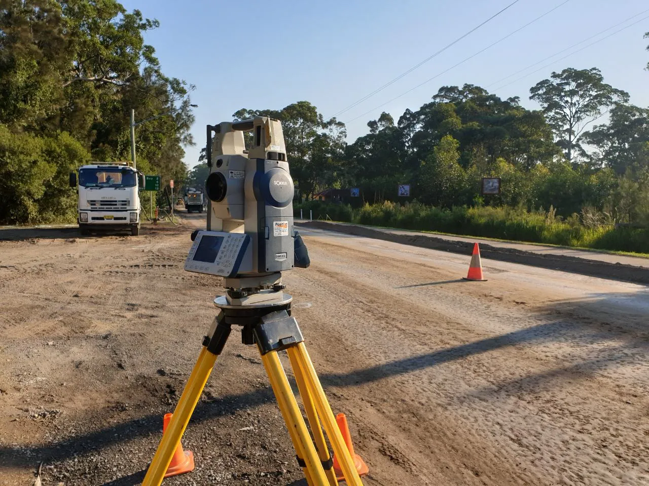
Construction Set Out
Road alignment and profile set out
Accurately marking the horizontal and vertical geometry of the proposed roadKerb, gutter, and footpath alignment
Set out of edge restraints, pavements and pedestrian infrastructureDrainage and pit locations
Surveying stormwater structures and utility services for correct placement
Progress & Compliance Surveys
Level checks and grade verification
Ensuring subgrade, base and finished levels meet design tolerancesAs-constructed surveys
Final survey plans documenting the completed infrastructure for council or client submissionVolume and quantity calculations
Earthworks tracking, cut and fill analysis and materials management support
We work closely with civil contractors, engineers and construction teams to ensure our survey services are integrated seamlessly into your delivery schedule.