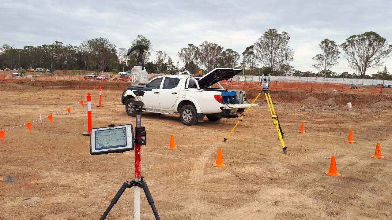
Precision Surveying for Bulk Earthworks and Site Preparation
MCS Surveyors provide accurate, reliable earthworks surveys for civil construction, subdivisions, infrastructure, and large-scale developments across Sydney and regional New South Wales. Our surveyors deliver precise data for site preparation, cut and fill calculations, and volume reporting to ensure your earthworks are on schedule, on budget, and fully compliant.
Whether you are starting a new land development, levelling a construction site, or managing bulk earthworks for roads and drainage, our team offers the expertise and technology needed to measure, map, and monitor every phase of the earthmoving process.
An earthworks survey involves measuring and analysing the changes to a site’s surface levels during excavation and filling operations. These surveys provide critical data used by engineers, contractors, and project managers to monitor progress, track material volumes, and verify that works are being completed to design specifications.
Typical earthworks survey tasks include:
Accurate earthworks surveying helps avoid disputes, control material usage, and maintain safety and compliance throughout the site preparation process.
MCS Surveyors offers a full range of earthworks survey solutions, tailored to your project needs and delivered with a focus on accuracy, efficiency, and responsiveness. Our services include:
We begin with a detailed topographic survey to map the existing conditions of the site. This baseline data is essential for design teams to model proposed surface levels and determine the volume of earth to be moved.
Deliverables may include:
Once the design is approved, we provide set out services for:
Our set out ensures machine operators and supervisors can shape the land according to plan with minimal risk of over or under excavation.
Throughout construction, we carry out regular surveys to compare existing and designed surfaces. We use industry-standard software to calculate:
This information supports project tracking, cost control, and verification of subcontractor quantities.
We provide fast, accurate stockpile volume assessments using GPS, drone, or laser scanning methods. This is ideal for tracking soil, gravel, or construction materials on site and can be integrated into your earthworks reporting process.
Once grading is complete, we perform a final survey to ensure the site matches design specifications. These results are compiled in a clear as-built report, suitable for handover to clients, engineers, or certifying authorities.
Accurate surveying is critical to successful earthworks. Without reliable data, projects may suffer from:
Our surveys provide clarity at every stage of the job, reducing risk and helping you stay in control of your site.
We provide earthworks surveys for a wide range of sectors and project types including:
Whether your site is five lots or five hundred, MCS Surveyors can scale our services to suit your needs and schedule.
To ensure accuracy and efficiency, we use modern survey instruments and modelling tools including:
This enables us to deliver precise results quickly, with clear outputs suitable for use by site managers, engineers, and project stakeholders.
With over 30 years of combined experience, MCS Surveyors is a trusted name in surveying for civil and construction projects across Sydney and NSW. Our team understands the fast-paced nature of earthworks and is committed to delivering responsive, high-quality service from start to finish.
Why clients choose us:
We work closely with site supervisors, plant operators, engineers, and developers to keep your earthworks running smoothly and to specification.