GPS Surveys Sydney

  • GPS Surveys for Large, Rural & Remote Sites
  • Fast, Accurate Positioning Using Advanced Equipment
  • Supporting Residential, Commercial & Civil Projects
Contact Us

Get A Quote

Thank you! Your submission has been received!
Oops! Something went wrong while submitting the form.
white inverted divider

What is a GPS Survey?

A GPS Survey uses the Global Positioning System, a worldwide network of satellites and ground stations, to calculate accurate locations on the Earth's surface. This technology allows surveyors to determine precise coordinates, elevations, boundaries, and topographical information for land parcels, structures, and features across vast or hard-to-access areas.

At MCS Surveyors, we use GPS in combination with other industry-leading equipment to carry out surveys that meet strict accuracy standards, ensuring your project complies with all relevant regulations and requirements.

MCS Surveyors specialise in providing high-precision GPS surveys for projects of all sizes across Sydney, Wollongong, and beyond. Whether you're working on a large-scale construction site, managing a rural property, or require accurate mapping of extensive land areas, our team has the expertise and technology to deliver reliable GPS survey data with pinpoint accuracy.

We combine advanced GPS technology with decades of land surveying experience to ensure your project starts with the precise information it needs.

    Contact Us
    Aerial view construction site

    Our GPS Survey Services

    We provide a wide range of GPS surveying solutions for residential, commercial, civil, and rural projects:

    Large Area GPS Surveys

    For construction projects, developments, or infrastructure works spanning significant land areas, accurate data is critical. We perform large area GPS surveys to map boundaries, topography, and key features, providing the reliable information you need for planning and development.

    Remote & Hard-to-Access Land Surveys

    Our experienced team carries out GPS surveys in remote or difficult-to-access locations where traditional survey methods may be impractical or time-consuming. Using GPS, we can efficiently gather essential data from rural properties, bushland, or rugged terrain.

    Rural Boundary Surveys

    Precise boundary identification is essential for rural properties, farms, and large estates. We use GPS technology to accurately determine and re-establish boundaries over large land parcels, helping to prevent disputes, support land sales, or assist with subdivision projects.

    Construction Set Out Using GPS

    On major construction projects, accurate positioning is vital to keeping your build on track. We use GPS equipment to assist with set out surveys over expansive sites, ensuring structures, roads, and infrastructure are positioned precisely according to your plans.

    Topographic & Feature Surveys

    We combine GPS data with detail and contour surveys to provide comprehensive topographical information for large sites. This supports architects, engineers, and planners by giving them a clear understanding of the land's existing conditions.

    Why Choose MCS Surveyors for GPS Surveys in Sydney?

    When it comes to large-scale land surveys or projects in remote areas, accuracy, efficiency, and experience matter. Here's why MCS Surveyors is the trusted choice for GPS surveys:

    • Over 30 Years of Combined Industry Experience
      Our qualified team brings decades of local surveying knowledge to every project, ensuring your GPS survey meets both practical and regulatory requirements.
    • Advanced Surveying Technology
      We invest in the latest GPS and survey equipment to deliver precise, reliable results for projects of all sizes and complexities.
    • Efficient Turnaround Times
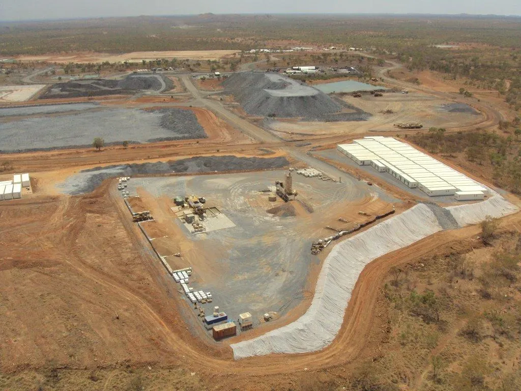
      We understand project deadlines. Our team delivers clear, accurate survey data and plans promptly, so your project can progress without delay.
    • Experts in Large, Rural & Remote Surveys
      From Sydney’s urban developments to vast rural properties across New South Wales, we have the capability to survey diverse sites efficiently and accurately.
    • Local Team, Proven Results
      We pride ourselves on communication, reliability, and the quality of our work. Our team provides the support and advice you need to move forward with confidence.

      When Do You Need a GPS Survey?

      GPS surveys are ideal for a wide range of project scenarios, including:

      • Mapping large construction sites
      • Re-establishing rural or agricultural property boundaries
      • Surveying infrastructure corridors such as roads, pipelines, or utilities
      • Capturing topographical data over expansive or remote areas
      • Supporting subdivisions or boundary adjustments on large land parcels
      • Providing site data for developments on uneven or rugged terrain

      If your project involves significant land areas or requires accurate positioning in hard-to-access locations, GPS surveying is a highly effective, efficient solution.

      Get Started with MCS Surveyors

      At MCS Surveyors, we know that reliable data is the foundation of every successful project. Our GPS surveys deliver the precise information you need, whether you’re developing a rural property, constructing major infrastructure, or managing a large urban site.Contact our friendly team today to discuss your GPS survey requirements and receive a quote.

      Contact Us
      dark divider

      Get In Touch

      Our 30 years of combined experience in this industry has allowed us to consistently provide the best survey services to our clients for their residential, commercial, civil, and industrial properties in Sydney & Wollongong. Get in touch today for free preliminary advice and quote.

      Call Us Now
      Surveyor