Fastest Turnaround Times In The Surveying Industry!


Determining who owns a fence might sound straightforward, but in practice, the answer often requires technical investigation, legal interpretation and on-site assessment. Homeowners frequently contact surveyors in Wollongong when a fence appears to sit slightly off the expected line or when neighbouring parties disagree over responsibility. At MCS Surveyors, we regularly help clients understand not only where the legal boundary sits but also how fence placement relates to ownership and maintenance obligations. By combining title research, modern field techniques and boundary law expertise, surveyors can provide clarity in situations where assumptions or ageing fences create confusion.
Below, we break down the legal principles, technical processes and dispute-resolution pathways that determine fence ownership during boundary checks.
Understanding fence ownership in NSW involves more than observing who installed or maintained a fence. Legally, ownership is linked to property boundaries defined in registered surveys and title documents, not the physical fence line itself. Many homeowners are surprised to learn that a fence sitting between two lots is not automatically a "shared" structure unless proven by boundary data. Before drawing conclusions, the legal framework must be properly understood so both parties can make informed decisions.
Boundaries in NSW are legally determined by the registered title, not by physical features built over time. A fence is considered an improvement placed close to the boundary, but it has no legal authority in defining where the boundary actually lies. Surveyors begin by interpreting the cadastral information recorded on title plans, deposited plans and related documents. Key considerations include:
Although the Dividing Fences Act guides cost-sharing and dispute processes, it does not determine the true legal boundary. Surveyors use it only after they have clarified boundary placement. Here are some important points you need to remember:
Even if one neighbour has taken on most of the upkeep, that does not determine ownership. Responsibility and ownership are tied to legal boundaries, not who maintains the fence. You can clarify the following with professional surveyors:
Fences often drift from their intended positions due to weather, ageing materials or reconstruction based on convenience, which means their location seldom reflects the true legal boundary. Remember, fences can shift, sag, deteriorate or be rebuilt in slightly different positions without the owners realising the implications.
Encroachments are one of the most common causes of boundary-related disputes. What people don’t realise is that these encroachments rarely stem from deliberate wrongdoing. When encroachments appear, surveyors must examine the circumstances that led to them, whether a fence was rebuilt in the wrong place or constructed without formal boundary verification.
Surveyors must unravel these inherited inaccuracies by identifying how and why the fence ended up in its current position. Understanding these underlying causes helps homeowners avoid blame, reduce conflict and move forward with factual information rather than guesswork. They investigate:
Many property owners rely on natural features to estimate boundary locations, often without realising how misleading these visual cues can be. Overgrown vegetation, tree lines, retaining walls or even a distinctive change in ground level can all appear to mark a logical “edge” of a property. However, none of these elements has any legal standing unless verified by boundary documentation or a professional survey. This common misunderstanding occurs because:
The history of a subdivision has a role in how accurately boundaries were established and recorded. Older developments often relied on dated measurement techniques that would not meet today’s precision standards. Reference points may have been disturbed, monuments removed or survey marks eroded by environmental conditions. When surveyors revisit these areas decades later, they must interpret historic plans, compare them with current technology and determine whether the boundary can be reconstructed with confidence.
Before a surveyor can determine who owns a fence or whether it sits correctly, they must first establish the exact legal location of the boundary itself. This process is more complex than simply measuring distances between visible features. It requires interpreting historic survey documents, understanding the intent of the original subdivision and conducting precise onsite measurements that align with legal definitions. Surveyors must bridge the gap between what was recorded decades ago and what exists on the ground today, ensuring the outcome is defensible under NSW boundary law.
Surveyors begin by undertaking a thorough review of all registered plans associated with the property. This includes analysing bearings, distances, reference marks and adjoining lot relationships recorded at the time of subdivision. The aim is to determine how the original surveyor intended the boundary to function within the subdivision layout. Tools and documents include:
Many original boundary markers become damaged, buried or completely lost due to construction works, landscaping, erosion or simple ageing. When this happens, surveyors cannot rely on physical evidence alone; they must reconstruct the boundary mathematically and legally. This process requires careful professional judgement because the surveyor must determine the boundary using indirect evidence and the hierarchy of monuments. Surveyors reconstruct boundaries by:
Modern surveying technology offers greater precision than the tools used decades ago. This means surveyors must interpret old measurements with an understanding of their limitations while using advanced instruments to refine boundary placement today. Historical surveys may contain slight inaccuracies or variations caused by old equipment, manual measurement errors or changes in magnetic north. Experts should consider these factors:
An on-site boundary check is a critical phase of the surveying process, where the theoretical and historical information gathered from title documents is tested against real-world conditions. This step transforms paperwork, measurements and legal definitions into practical, physical evidence that homeowners can actually see and understand. Whether a fence appears slightly off-line, a boundary dispute is emerging or a homeowner is preparing for construction, an accurate on-site check provides the clarity needed to make informed decisions.
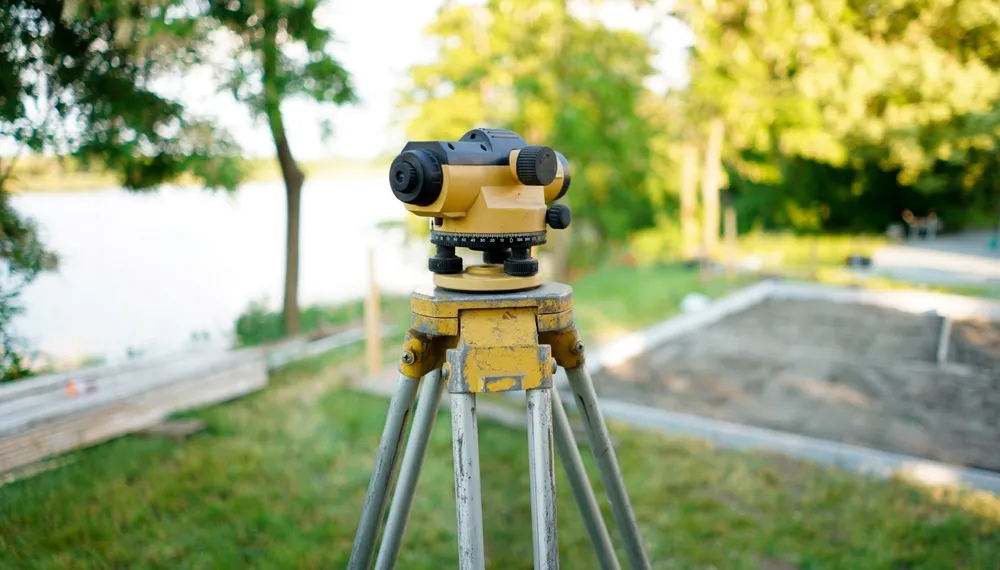
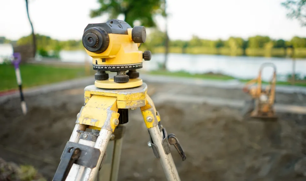
To accurately determine a boundary, surveyors rely on highly specialised instruments designed to capture fine measurements with exceptional precision. The introduction of modern surveying equipment has improved the accuracy of boundary identification, but even with advanced tools, surveyors still need to follow structured methodologies to confirm every measurement aligns with the legal boundary definition. Typical equipment and steps are:
After gathering field measurements, surveyors must translate this data into a clear understanding of how the physical environment compares to the legal boundary described in official documents. This stage requires technical skill and professional interpretation because the land as it exists today may differ significantly from the conditions recorded in historical plans.
Surveyors must determine whether these differences are the result of natural movement, human error, past construction issues or changes in the landscape. Only by reconciling the real-world measurements with the legal framework can they accurately identify whether a fence or structure is correctly positioned. This requires:
Boundary survey results can include technical terminology, complex diagrams and precise measurements. A crucial part of the surveyor’s role is to translate these findings into accessible, understandable explanations. A clear and well-structured communication approach helps homeowners confidently interpret the results, understand their rights and obligations and take the appropriate next steps. Whether the issue involves replacing a fence, addressing an encroachment or settling a dispute with a neighbour, the surveyor’s ability to communicate the findings effectively is essential to achieving a resolution.
Once the true legal boundary has been accurately identified, the next step is to analyse how the existing fence aligns with that boundary. This stage is often where homeowners gain the clarity they’ve been seeking, as it directly determines whether a fence is positioned correctly, encroaching onto a neighbour’s land or mistakenly built entirely within one property.
This assessment is essential not only for resolving disputes but also for guiding future decisions such as fence replacement, extension planning or compliance with council requirements. Understanding the precise relationship between the fence and the boundary helps parties avoid costly mistakes and ensures any future work is legally defensible. This section breaks down how surveyors interpret their field data to determine fence placement with certainty.
Before any conclusions can be drawn about who owns a fence or who is responsible for its upkeep, surveyors must convert field measurements into a clear comparison between the fence line and the legal boundary. This process requires analysing the spatial relationship between the two, often down to millimetre precision. Survey data is invaluable because it removes guesswork and subjective interpretation from the equation. This allows surveyors to determine whether the fence has been correctly located or whether adjustments may be necessary.
Surveyors prepare reports and plans that clearly record the boundary location, the fence position and any encroachments or discrepancies. These documents give homeowners a clear, reliable reference that can support renovation plans, resolve questions about fence placement or simplify discussions with neighbours. Because boundary issues often arise years after a fence was constructed, accurate survey documentation ensures there is a clear, permanent reference for future owners or decision-makers. Surveyors can prepare formal documents such as:
Disputes often arise when neighbours act on visual impressions or long-standing habits rather than verified data, especially when planning new works. Without verified data, even minor misunderstandings about fence placement or land use can escalate into conflicts that strain relationships and delay important property improvements. A professional boundary survey provides an impartial, legally recognised determination that removes uncertainty from the situation.
These situations demand clear, authoritative information so that both parties understand exactly where their rights and responsibilities begin and end. A boundary survey provides the legal certainty needed to move forward confidently and avoid costly mistakes. When these conditions arise, a survey becomes an essential tool for ensuring both parties understand the factual boundary location and their respective responsibilities.
A professionally prepared boundary report doesn’t just resolve current uncertainty; it also prevents future disagreements by establishing a clear, permanent record of boundary positions. This documentation becomes invaluable during future renovations, fence replacements, land use planning or property sales. By having a formal survey completed, homeowners can avoid repeating the same disputes with future neighbours or inheriting problems created by previous owners. Clear documentation removes ambiguity and provides long-term protection for the property.
When disagreements escalate into formal mediation or legal action, evidence becomes critical. When disputes proceed to mediation or legal review, survey findings help streamline the process by supplying precise, objective measurements that remove ambiguity from the discussion. With clear evidence, mediation becomes more efficient, and costly litigation can often be avoided altogether. If disagreements escalate, survey data helps:
Fence ownership is one of the most commonly misunderstood aspects of property boundaries, yet it has serious implications for maintenance responsibilities, neighbour agreements and future development. With the right expertise, homeowners can avoid unnecessary conflict, protect their assets and make confident decisions backed by legally defensible data. If you’re unsure about a fence position or heading towards a dispute, now is the time to seek professional guidance. Contact us here at MCS Surveyors today to book a boundary survey and get the clarity, certainty and peace of mind your property deserves.