Fastest Turnaround Times In The Surveying Industry!


Cities don’t simply grow; they evolve through vision, precision and smart planning. At MCS Surveyors in Sydney, we’ve seen how accurate spatial data and forward-thinking survey work drive real economic growth. From housing projects to major infrastructure corridors, every thriving city starts with surveyors who turn blueprints into progress.
Let’s explore how the surveying profession supports the engine of urban and economic development and how surveyors help cities adapt to the challenges of the future.
Redevelopment projects are the engines of urban renewal, breathing new life into ageing districts, industrial corridors and transport hubs. But behind every visible change lies a maze of legal boundaries and spatial challenges that only skilled surveyors can unravel. Every boundary line, elevation model and digital record must reconcile the city’s past with its future. In high-value precincts, even a small surveying error can delay multimillion-dollar projects, trigger disputes or derail council approvals.
Redevelopment projects rarely start with a clean slate. Many occur on land with fragmented ownership, overlapping easements or legacy titles that predate modern cadastral mapping systems. Before construction can begin, surveyors must unravel these complexities and re-establish clarity. Historical inconsistencies are reconciled with modern GIS data, reducing the risk of disputes or costly redesigns.
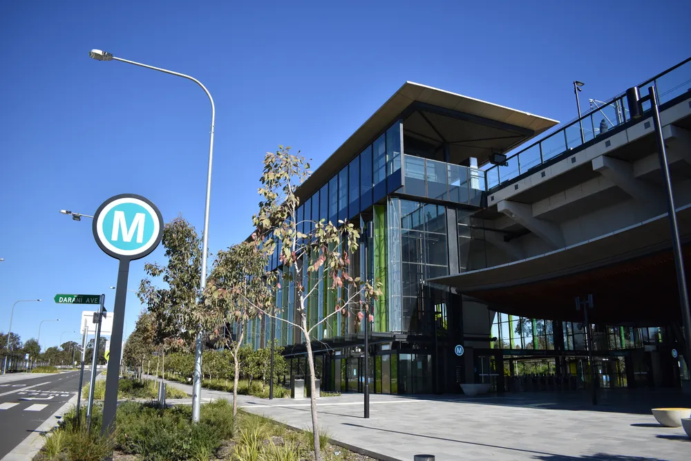
Major redevelopment initiatives rarely occur in isolation; they must connect seamlessly to the surrounding transport, utility and digital infrastructure. This integration requires a meticulous understanding of existing underground and above-ground networks. Surveyors provide the framework that allows planners and engineers to blend old and new without compromising efficiency or safety.
Redevelopment is full of opportunity. However, it also comes with strict environmental and planning obligations. Our job as surveyors is to make sure ambitious designs stay practical and compliant, long before the first foundation is poured. Their responsibilities often include the following:
One of the most transformative examples of large-scale redevelopment is the BlueScope Steelworks precinct revitalisation in Port Kembla. This project highlights how surveyors play a decisive role in bridging industrial heritage with future-ready urban expansion. For decades, the site symbolised Australia’s manufacturing might. Today, its redevelopment presents a once-in-a-generation opportunity to reshape the Illawarra economy.
Housing affordability pressures push governments and developers to re-evaluate how land is distributed, zoned and utilised. Surveyors are key players in identifying viable parcels and optimising density without sacrificing liveability.
Transforming former industrial or low-yield land into housing requires spatial intelligence.
Urban cores are shifting vertically. Surveyors establish the framework that supports safe and efficient high-rise and mixed-use developments.
Survey data helps planners assess housing needs and monitor policy success.
Economic resilience isn’t built overnight; it’s shaped by informed decisions, long-term planning and precise spatial intelligence. Cities that thrive after economic shifts, climate events or infrastructure challenges are those that rely on accurate, adaptable data. Surveying provides that foundation. It turns land, elevation and asset records into actionable insights that guide investment, manage risk and strengthen community infrastructure.
Modern economies run on data, and spatial data lies at the heart of every strategic urban decision. For governments and investors alike, accurate geospatial intelligence determines how resources are allocated, where development should occur and what risks must be mitigated. Surveyors act as the bridge between the physical world and the digital models that underpin smart cities. Every elevation scan, boundary verification and GIS update helps decision-makers predict future scenarios with confidence.
Smart infrastructure investment starts with trust, and that trust comes from accurate data. Our surveys give investors and planners the confidence to commit to long-term projects without costly surprises. This alignment minimises rework, delays and cost overruns.
Climate change presents one of the greatest economic challenges of our time. Flooding, heat stress and sea-level rise all have profound implications for urban economies. We help councils and developers identify and manage environmental risks early before they become costly problems for communities or investors. This data empowers planners and engineers to design resilient infrastructure, position emergency services and allocate resources efficiently.
True economic resilience isn’t only about protecting assets; it’s about ensuring that communities can thrive during growth and recovery. Survey data provides the blueprint for aligning infrastructure with human needs, ensuring every investment benefits the people it’s meant to serve. Surveyors map more than land; they map potential, identifying where housing, transport, healthcare and education infrastructure should evolve as populations shift.
Urban transformation succeeds when planners, surveyors and engineers share a unified vision. Collaboration ensures that design concepts align with spatial realities and regulatory frameworks.
Surveyors bring precision to conceptual designs.
Urban projects involve layers of government and private enterprise.
Surveyors help translate digital planning visions into reality.
Sustainability is now the true measure of progress. Surveyors support development that works with, not against, the environment. Every new road, subdivision or mixed-use complex changes how people interact with the land and how that land supports future generations. Surveyors stand at the intersection of these priorities, ensuring that growth happens responsibly, efficiently and in harmony with environmental realities.
Rapid development often puts green space under pressure. As more land is converted for housing, industry and transport, the need to preserve natural systems becomes increasingly critical. Green infrastructure isn’t just about aesthetics; it provides essential ecosystem services that regulate temperature, manage stormwater and improve liveability. This approach ensures that development contributes to human well-being and environmental resilience.
The transition to renewable energy is a cornerstone of sustainable urban growth. Solar farms, battery storage facilities, wind installations and electric vehicle charging corridors are reshaping how cities produce and consume energy. But before any of these systems can be built, surveyors must define the space, ensuring every project meets environmental, structural and regulatory parameters.
The next frontier of sustainable development lies in rethinking waste, turning what was once discarded into a valuable resource. Circular-economy principles aim to keep materials in use for as long as possible, reduce landfill dependency and minimise environmental impact. We’re helping planners and developers design land-use systems that make recycling and resource recovery part of the city itself, not an afterthought.
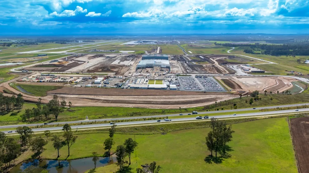
As populations swell and work patterns evolve, cities must adapt. Surveyors help governments anticipate demand and design infrastructure that aligns with demographic trends.
Census-aligned survey data enables predictive urban modelling.
Surveyors assist in planning commercial and industrial precincts that support local economies.
Population growth must translate into sustainable, liveable environments.
Urban transformation takes teamwork and surveyors make that teamwork possible through accuracy, insight and collaboration. At MCS Surveyors, we’re proud to help shape Australia’s cities so they grow smarter, stronger and more sustainable for generations to come. Through innovation and collaboration, the profession will remain central to shaping economic resilience and spatial futures.