Fastest Turnaround Times In The Surveying Industry!


Subdivision along the coastline presents planning and design challenges that extend well beyond a standard land development project. Coastal hazards can influence whether land can be subdivided, how lots are configured and the conditions that may apply to any approval.
As surveyors in Wollongong, MCS Surveyors understands the importance of identifying these constraints early so subdivision proposals are based on accurate site information and aligned with local planning requirements from the outset.
This guide explains how coastal hazard mapping influences subdivision applications, how Wollongong City Council and NSW planning policies assess land affected by coastal processes and how these constraints can shape lot layouts, building envelopes, infrastructure design and overall project feasibility. It also outlines the survey information, specialist assessments and approval considerations required for coastal subdivisions, helping landowners and developers make decisions before investing time and resources.
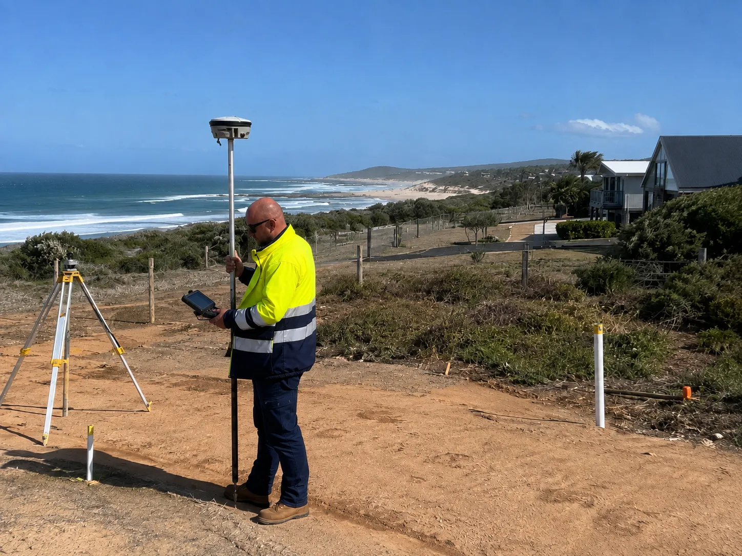
Coastal hazard has a specific planning definition that goes beyond simple beachfront erosion. For subdivision applications, it covers any current or future physical process that can damage land or buildings or restrict safe access and servicing on land influenced by the ocean or coastal waterways. Understanding these hazards is essential because state planning policies require that new lots are safe over the full planning timeframe.
Understanding how coastal hazards and sea-level rise affect development surveys can also help property owners recognise why erosion lines, inundation levels and future planning scenarios must be incorporated into subdivision design.
Coastal erosion is the landward loss of sand and soil from beaches, dunes and coastal bluffs due to wave attack and storm events. This affects open coast beaches, where storm waves can cut into the dune and undermine existing or proposed building platforms.
Recession is the long-term landward movement of the shoreline driven by sea level rise and changes in sediment supply. Coastal hazard mapping considers both current conditions and future planning horizons. Property owners can review Council’s Wollongong coastal hazard information to understand the types of coastal processes mapped across the local government area and the future timeframes considered. If any part of a proposed subdivision falls within a mapped coastal erosion hazard area, it may trigger more detailed assessment and design constraints.
Understanding erosion risk on coastal and sloping sites helps explain how changing shorelines, unstable ground and drainage conditions can reduce the usable area of a development site.
Coastal inundation is the temporary flooding of land by the sea during high tides, storm surge or a combination of both. This hazard often interacts with coastal lagoons and creek entrances, where ocean levels can push inland and raise water levels.
Planning controls treat land that is flood-prone due to oceanic processes as coastal hazard land even if it is not directly on the open coast. Inundation scenarios could be:
Subdivision within mapped coastal inundation areas will usually need finished lot levels, access roads and essential services designed above specified ocean flood planning levels.
Coastal hazards also include land instability linked to marine processes. This can involve slumping or failure of coastal cliffs and steep slopes where wave action or saturated soils reduce stability. Sections of the Illawarra escarpment that interact with coastal processes and some rocky headlands fall into this category.
If these processes are active or expected within the life of the subdivision, they are treated as coastal hazards that must be identified in site investigations, coastal engineering reports and subdivision design.
Coastal hazards do not only affect building design; they determine whether subdivision is allowed at all and what lot layout is acceptable. Land within mapped coastal risk areas is subject to extra tests that can reduce development yield or prevent subdivision entirely.
Applicants must show that every proposed lot can safely accommodate a future dwelling and access for the full planning horizon. If this cannot be demonstrated to council’s satisfaction, subdivision consent is unlikely.
Coastal planning controls impose minimum setbacks from hazard lines, escarpments and foreshores. Subdivision must be designed so that each lot can comply with those setbacks while still accommodating a compliant building envelope. Practical implications are:
Access ways, driveways and essential services must also be located outside areas likely to be undermined or regularly flooded. A layout that creates landlocked or high-risk access to otherwise safe building platforms is usually unacceptable.
Where a site intersects mapped coastal hazard layers, council typically requires a detailed coastal engineering or geotechnical report to support subdivision. This report must:
If the assessment identifies high residual risk that cannot be managed with setbacks, lot reconfiguration or design restrictions, authorities may refuse subdivision even where buildings already exist on the parent lot. Consent may be conditional on restrictions on the title.
Hazards such as erosion, storm-bite recession and coastal inundation have a direct impact on how lots can be shaped, sized and serviced in subdivision applications. Councils and certifiers expect subdivision design to demonstrate that future dwellings and infrastructure will remain functional and safe for the expected planning timeframe.
Subdivision proposals that ignore hazard mapping or coastal risk assessments are likely to face redesign conditions or refusal. For example, a site that appears capable of accommodating four residential lots may ultimately support only three once coastal erosion setbacks, hazard buffers and infrastructure requirements are applied. Identifying these constraints early helps establish realistic development expectations before detailed design work begins.
Subdivision applications require accurate survey information to demonstrate how coastal hazards have been identified and incorporated into the proposed design. Councils, planners and engineers rely on this information to assess lot layouts, building envelopes, infrastructure and compliance with coastal planning controls. Bringing these survey datasets together early helps streamline technical assessments and supports a more efficient approval process.
Typical survey information includes:
Relevant state planning layers and coastal management areas can also be reviewed through the NSW Planning Portal Spatial Viewer, although site-specific survey and professional planning advice may still be required.
Providing this information allows experts to assess subdivision proposals using accurate site data, reducing design revisions and requests for additional information during the approval process.
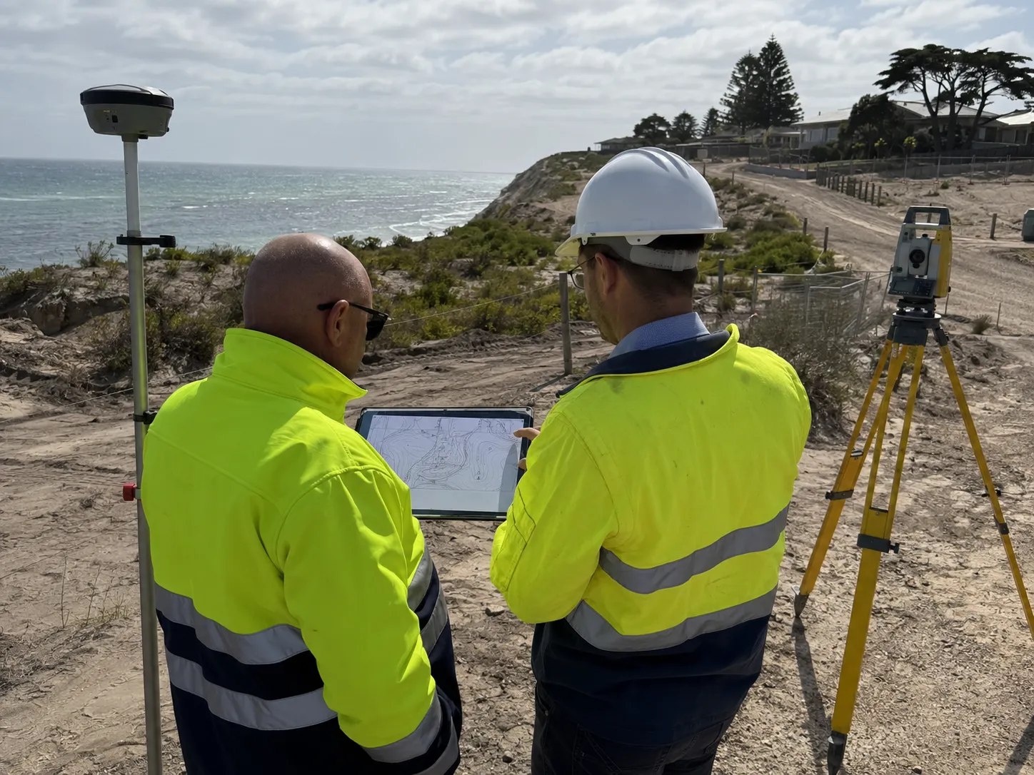
Subdivision proposals often require specialist technical assessments to demonstrate that future lots, infrastructure and building sites will remain safe and functional. These reports provide the evidence the council uses to assess coastal risks and determine whether a subdivision can proceed without creating unacceptable impacts on neighbouring land, public assets or the coastline.
The need for specialist assessments depends on the site's location and the coastal hazards affecting it. They are commonly required where land is:
Depending on the site conditions, the council may require one or more specialist reports, including:
Completing these investigations early gives council the evidence needed to assess the proposal and allows design issues to be addressed before the application progresses too far. This can reduce requests for additional information and help streamline the assessment process.
Once a subdivision application is lodged, the council assesses whether the proposal appropriately responds to identified coastal hazards and complies with relevant planning controls. Rather than considering coastal hazards in isolation, the assessment examines whether lot layout, access, infrastructure and future development can remain safe and functional over time.
Applications affecting mapped coastal hazard areas are, where appropriate, expected to include technical evidence such as:
If the proposal is considered suitable, approval commonly includes conditions that manage ongoing coastal risk, including:
By incorporating coastal constraints into the subdivision design from the outset, applicants are generally more likely to experience a smoother approval process with fewer redesigns and information requests.
Being affected by a coastal hazard does not automatically prevent land from being subdivided. Many properties are subdivided despite being located within mapped erosion, inundation or coastal management areas. The issue is whether the proposal can demonstrate that future lots, building envelopes, access and infrastructure will remain safe over the relevant planning horizon while complying with local and state planning requirements.
The focus is on risk management rather than simply identifying whether a hazard exists. Applicants are expected to demonstrate that the subdivision will not expose future occupants, neighbouring properties or public infrastructure to unacceptable coastal risk.
Where these matters can be satisfactorily addressed through design and supporting assessments, subdivision may still be considered appropriate despite the presence of mapped coastal hazards.
One of the most effective ways to determine whether coastal hazard land can be subdivided is to investigate site constraints before preparing a detailed subdivision design. Early surveys, coastal hazard assessments, engineering investigations and planning reviews provide a realistic understanding of what is achievable before significant design costs are incurred.
Coastal subdivision is often more complex than inland development because additional planning controls, technical investigations and coastal hazards must be addressed before approval can be granted. Understanding these challenges early helps property owners make decisions about project feasibility, project costs and approval timeframes.
While every site is different, the extent of these challenges depends on the property's location, the coastal hazards affecting it and how the proposed subdivision interacts with mapped hazard areas. Even relatively small subdivisions may require significant design changes where erosion, inundation or coastal instability is present.
Subdivision applications within coastal hazard areas usually take longer to assess than standard residential subdivisions. Additional technical reports often need to be reviewed before planning decisions can be made.
Allowing sufficient time for investigations at the beginning of the project can help reduce delays later in the approval process.
Coastal subdivision involves higher upfront costs than comparable inland developments because more technical information is needed to demonstrate that the proposal is suitable.
Although these studies increase project costs, they also provide the information needed to identify site constraints early and minimise the risk of expensive redesigns after an application has been lodged.
One of the challenges for property owners is that coastal constraints can reduce the number of lots that a site can reasonably support. Hazard setbacks, building exclusion zones, coastal buffers and infrastructure requirements may occupy land that would otherwise have been available for development.
As a result, applicants may need to:
Understanding these limitations early helps property owners assess whether a proposed subdivision remains financially viable before committing to detailed design work.
Coastal subdivision projects are most successful when site constraints are identified before lot layouts are finalised and technical reports are commissioned. Waiting until the subdivision design has been prepared to investigate coastal hazards often results in avoidable redesigns, additional consultant fees and extended approval timeframes. By obtaining survey advice early, property owners and developers can understand how coastal constraints affect the site before making significant planning or financial commitments.
Surveyors provide far more than boundary measurements. They establish the accurate spatial information that planners, coastal engineers, geotechnical consultants and civil designers rely on when assessing erosion hazards, inundation risks, access requirements and infrastructure layouts. This shared foundation helps ensure that every aspect of the subdivision proposal is based on consistent and reliable site data.
Successfully subdividing coastal land in Wollongong requires more than meeting standard planning requirements. Coastal hazards, evolving planning controls and long-term risk assessments all influence how land can be designed, serviced and approved. By understanding these constraints early and supporting an application with accurate survey data, landowners and developers can reduce approval risks, minimise costly redesigns and create more resilient subdivision outcomes.
With extensive experience in coastal land development, MCS Surveyors provides the survey expertise needed to help landowners and developers navigate coastal planning constraints, reduce approval risks and create subdivision outcomes that are practical and resilient.