Fastest Turnaround Times In The Surveying Industry!


Choosing the right survey plan is an important early step when progressing a subdivision or land development project. A preliminary plan of subdivision and a plan of redefinition serve different purposes, so identifying the appropriate survey work can help with planning, costs, timeframes and later approval or registration requirements.
MCS Surveyors assists property owners and developers with surveying requirements associated with subdivision, boundary definition and land development. Its survey services can help determine whether a preliminary plan, Plan of Redefinition or other cadastral survey work is appropriate for the property and proposed development.
For projects involving land surveyors in Sydney, knowing the purpose of each plan can make the surveying process easier to plan. The key considerations include when a preliminary plan is useful, when existing boundaries may need to be redefined and what information is required before survey work begins.
A preliminary plan of subdivision is an early survey-based plan used to explore how a property could be divided into proposed lots. It can show an indicative arrangement of lot boundaries, approximate areas, access and relevant easements, allowing the proposed subdivision to be considered alongside site conditions and planning requirements.
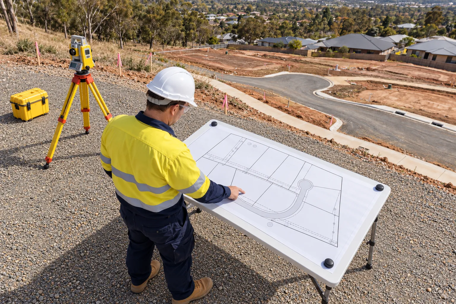
The plan may be used to:
A preliminary plan of subdivision does not create new legal titles and is not the final plan used to register new lots. Once the proposed layout has been confirmed and the relevant approvals are in place, a final subdivision plan can be prepared with the cadastral information required for registration.
A plan of redefinition is used when the existing legal boundaries of a parcel need to be established, clarified or corrected. Unlike a subdivision plan, it does not primarily involve creating new lots and instead focuses on accurately defining existing land where title records, survey evidence or physical occupation may not align.
A plan of redefinition may be appropriate where:
Boundary surveying in NSW must be undertaken by a licensed registered surveyor.
The surveyor considers title records, deposited plans, survey marks, physical occupation and other relevant evidence when establishing the existing boundaries. Where formal cadastral work is required, the resulting plan documents the re-established boundaries for the relevant land registration process.
A preliminary plan of subdivision and a plan of redefinition are used for different purposes. A preliminary plan helps explore a proposed subdivision layout, while a plan of redefinition establishes or clarifies the boundaries of an existing parcel.
A preliminary plan is an early planning document that can show proposed lot layouts, approximate dimensions, access, easements and relevant site constraints. It can assist with feasibility and planning discussions, but it does not create new legal lots or change the existing title.
A plan of redefinition involves boundary survey work to establish existing boundaries using title information, deposited plans, survey evidence and physical occupation. Where formal registration is required, the plan is prepared in accordance with the applicable cadastral surveying requirements.
A preliminary plan is prepared while the subdivision design is still being considered. It can help identify potential issues before the layout is finalised and before the final subdivision plan is prepared.
A plan of redefinition may be prepared where existing boundaries are uncertain, historic survey information is inadequate or title dimensions do not appear to align with physical occupation. It may also form part of broader cadastral work where accurate existing boundaries are needed before a subdivision, consolidation or other property dealing.
In simple terms, a preliminary plan explores how land could be divided, while a plan of redefinition establishes the existing parcel boundaries. Some projects may require both, depending on the condition of the existing cadastral information and the proposed development.
A preliminary plan is prepared early, before the subdivision layout has been fully settled or the detailed design progresses too far. It can help test proposed lot sizes, access arrangements and development options against planning controls and site constraints while changes can still be made relatively easily.
This plan is prepared when the existing legal boundaries need to be established, clarified or corrected. This can be useful before development or subdivision work where uncertainty about boundaries, easements or occupation could affect the proposed design.
Early surveying can be useful where:
Identifying the appropriate survey work early can help reduce unnecessary fieldwork, design changes and subdivision delays as the project progresses.
Survey information can support different stages of subdivision and development. A preliminary plan can help communicate the proposed lot arrangement and identify issues that may need to be addressed, while a plan of redefinition can establish existing boundaries where accurate cadastral information is important to the proposed work.
For a proposed subdivision, accurate survey information can support council approval by documenting lot configuration, access, easements and relevant site constraints. Any issues identified during planning can then be considered before the final subdivision plan is prepared.
Where existing boundaries are uncertain, resolving those issues early can be important for development near property boundaries or where access, easements or setbacks depend on accurate cadastral information. This can help maintain consistency between the proposed development, survey documentation and the final subdivision or registration work.
The final subdivision process involves preparing the appropriate cadastral plan once the proposed layout and approval requirements have been established. Where boundary redefinition is also required, the relevant survey work can be incorporated into the broader cadastral process.
Before anything can be prepared, the surveyor needs relevant legal, planning and site information. Providing these details early helps define the scope of work and identify potential issues before fieldwork and plan preparation begin.
The exact requirements vary depending on the property and proposed development, but most projects involve three main areas of information.
Title and ownership records provide the legal information needed to establish the property being surveyed. These documents help identify existing boundaries, registered interests and any issues that may affect the proposed survey work.
Relevant documents may include:
Planning information helps the surveyor understand how the land is intended to be used or subdivided. Details about zoning, development approvals and the proposed layout can help determine which site features and constraints need to be considered.
Useful information may include:
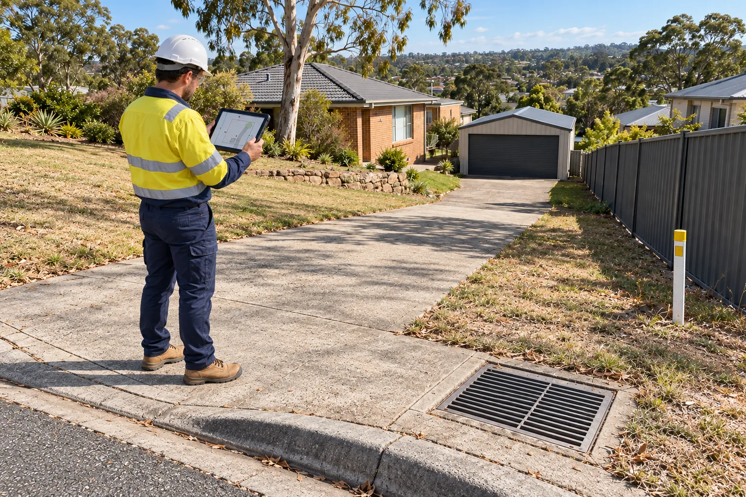
Information about the physical site helps ensure the survey captures features relevant to the proposed project. Existing plans, structures, services and known site constraints can also identify matters that may require further investigation.
Depending on the project, this may include:
Providing available plans, photographs and previous Council correspondence can also help establish the survey scope before fieldwork begins.
The surveying process for a preliminary plan of subdivision, or plan of redefinition, moves from an initial review through to fieldwork and plan preparation. The exact scope depends on whether the project involves testing a proposed subdivision or establishing existing property boundaries.
The process begins with a review of the property, available records and the intended outcome. This may involve examining titles, deposited plans, existing survey information, registered interests and proposed development plans.
The review helps identify the survey requirements, potential constraints and any issues that may need further investigation.
The surveyor then carries out fieldwork to collect the information needed for the project. Depending on the scope, this may include locating boundary marks, fences, buildings, driveways, retaining walls, levels, contours, drainage features and other relevant site features.
For a preliminary subdivision plan, the survey focuses on information needed to assess the proposed lot layout, access and site constraints. For a plan of redefinition, greater attention is given to boundary evidence and discrepancies between title information and physical occupation.
After the field survey, the collected information is processed and used to prepare the relevant plan. A preliminary plan may show proposed lot boundaries, approximate areas, access and easements, while a plan of redefinition documents the established boundaries of the existing parcel.
The draft plan can then be reviewed and refined where required before progressing to the relevant approval or registration stage.
The cost of preparing a preliminary plan or plan of redefinition depends on the property, the type of survey required and the complexity of the work involved. Straightforward sites with reliable records may require less investigation, while older or more complex properties can involve additional fieldwork, research and plan preparation.
Various factors can include the following:
A preliminary plan may involve additional planning and design work where different subdivision layouts need to be considered. A plan of redefinition can require more cadastral investigation where historical records are incomplete or physical occupation does not align with title information.
A survey quote should clearly outline the work included in the proposed fee. Depending on the project, this may cover title research, fieldwork, survey calculations, plan preparation, revisions and relevant consultant coordination.
Additional costs may arise if the project scope changes, further investigation is required or unexpected boundary issues are identified. Providing current title documents, deposited plans and available development information at the beginning can help establish a clearer scope.
Preparing a preliminary plan of subdivision or plan of redefinition can take anywhere from several days to several weeks, depending on the property and scope of work. A straightforward site with accessible boundaries and reliable survey records may progress more quickly, while complex properties can require additional fieldwork, historical research or boundary investigation.
A preliminary plan for a straightforward residential subdivision may take around 1 to 3 weeks once the necessary information and site access are available. A plan of redefinition may take several weeks, where the surveyor needs to locate missing survey marks, examine older plans or resolve discrepancies between title information and physical occupation.
These are indicative survey and plan preparation timeframes only. Council assessment, development approval, subdivision certification, registration and any additional investigations or revisions are separate stages that can extend the overall project timeframe.
Choosing between a preliminary plan of subdivision and a plan of redefinition depends on the purpose of the project and the condition of the existing cadastral information. A preliminary plan can help test proposed lot layouts, access and development options, while a Plan of Redefinition is used to establish or clarify existing boundaries where further cadastral investigation is required.
MCS Surveyors can assist property owners and developers with survey requirements for subdivision, boundary definition and land development projects in NSW. Early survey input can help identify the appropriate scope of work and provide accurate cadastral information for the next stage of the project.