Fastest Turnaround Times In The Surveying Industry!


Developing bushfire-prone land involves more than selecting a suitable building location and progressing to design. Additional planning and construction requirements can affect where a building can be placed, how access is provided, the amount of defendable space needed and whether the proposed development can achieve approval.
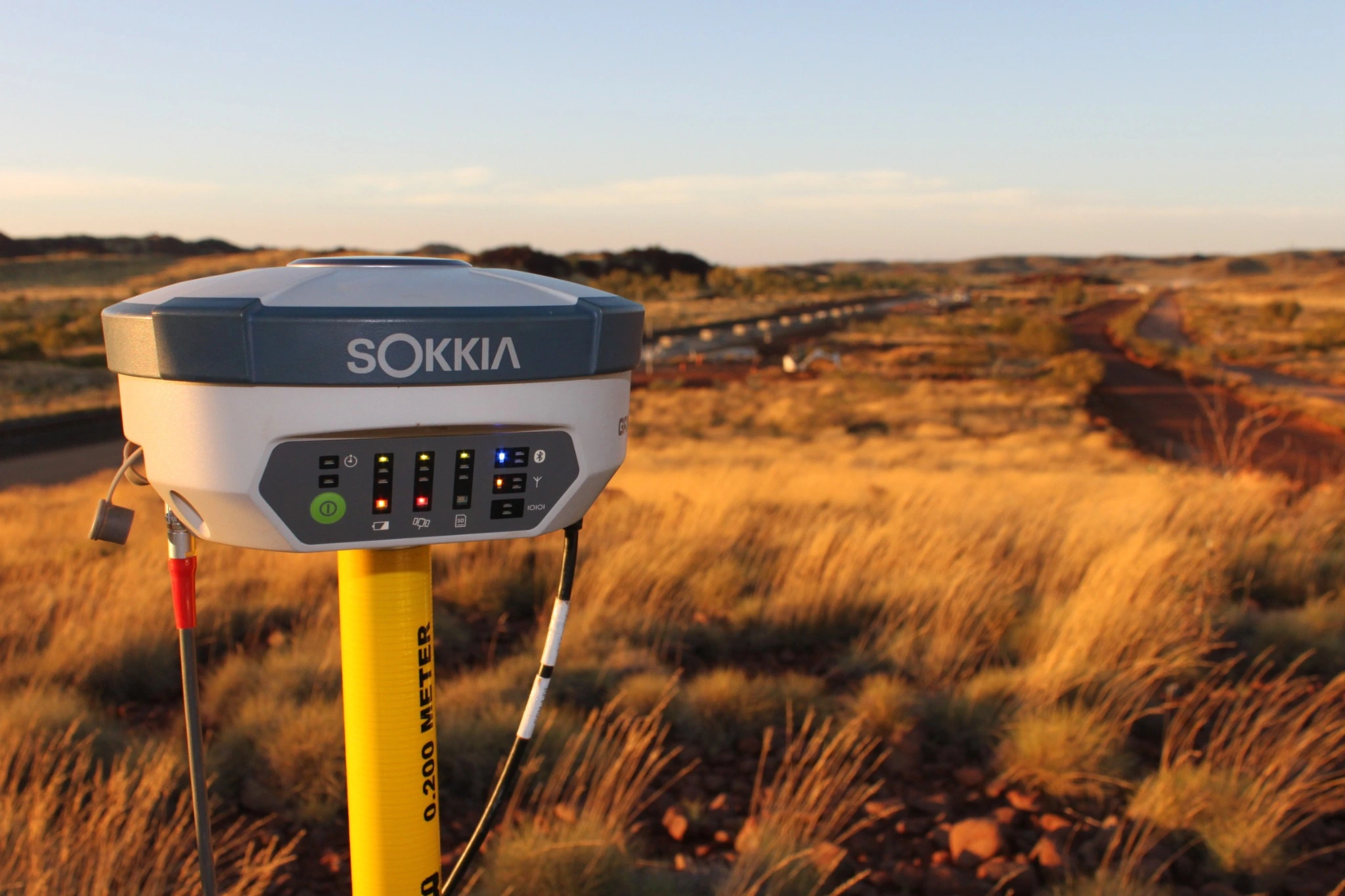
Reliable site information is essential from the beginning. Accurate survey data gives planners, bushfire consultants, architects and engineers a clear understanding of the land before design decisions are locked in. This is why engaging qualified surveyors in Wollongong is often one of the earliest steps when planning development on bushfire-prone land.
MCS Surveyors explains the survey information commonly required for these projects and how it supports bushfire assessments, Bush Fire Attack Level (BAL) determinations and planning decisions. Understanding these requirements early can reduce the likelihood of redesign, approval delays and unexpected site constraints emerging later in the project.
Bushfire-prone land is land identified on a certified bush fire prone land map as being capable of supporting a bushfire or being exposed to bushfire attack. When a property is affected by this mapping, additional planning and building requirements may apply to new development. Property owners can use Wollongong City Council’s bush fire prone land information to check the local mapping and find out how to obtain official confirmation through a Planning Certificate.
The requirements will depend on the proposed use of the land, the type of development and the conditions affecting the site. Factors such as vegetation, slope, separation distances, access and available water supply can influence how the land can be developed.
These considerations may affect:
Ignoring these issues during the early planning stage can lead to a design that is difficult or expensive to approve. A building footprint that appears suitable on a basic site plan may become unworkable once vegetation, slope, boundaries and access requirements are assessed accurately.
Development on bushfire-prone land must be considered against the relevant NSW planning and bushfire protection requirements. The approval pathway will vary according to the type of project.
Some proposals may require a bushfire assessment report demonstrating how the development addresses the relevant requirements. More complex developments may need additional supporting documentation and a detailed assessment by a qualified bushfire consultant.
A Bush Fire Safety Authority from the NSW Rural Fire Service is required for certain subdivisions of bushfire-prone land that could lawfully be used for residential or rural residential purposes. It is also required for development on bushfire-prone land for a special fire protection purpose.
Special fire protection purpose developments include certain facilities where occupants may be more vulnerable during an emergency, such as schools, childcare centres, hospitals, aged care facilities and retirement villages. These developments require careful consideration because evacuation and emergency response can be more complex.
Identifying the likely approval pathway early helps the project team understand the information required before design work progresses too far.
Survey information forms the factual base for bushfire planning and design decisions. Without accurate details about the land, bushfire consultants and designers may need to rely on assumptions, basic mapping or aerial imagery.
These sources can be useful during early investigations, but they do not replace detailed site information. Vegetation edges, changes in slope, access limitations, easements and boundary locations can materially affect the available building area.
Early survey work allows the project team to assess whether the preferred building location is realistic before significant time and money are spent on architectural plans. It can also help identify whether a site requires a different layout, additional access works or a more detailed bushfire assessment.
Accurate survey information supports:
The earlier these constraints are understood, the easier it is to develop a practical response.
A feature and contour survey records the physical characteristics of a property and provides the information needed to understand how the site can be used. On bushfire-prone land, the level of detail required may extend beyond the immediate building area.
The survey should provide a clear picture of the landform, boundaries, existing improvements and visible constraints. Depending on the project, additional information may also be needed about surrounding vegetation and adjoining land.
The right survey will depend on the site and the proposed development. This guide to the different types of land surveys explains when additional survey work may be required.
Accurate boundaries are essential because the proposed building, access routes and asset protection measures must be planned within the legal limits of the site.
The survey should record:
A small boundary discrepancy can have a significant effect on a constrained site. It may reduce the available building area, affect setbacks or create problems where an Asset Protection Zone or access route is positioned too close to an adjoining property.
Contour lines and spot levels provide an accurate representation of the shape of the land. This is important because slope influences bushfire behaviour and can affect the required separation between a building and hazardous vegetation.
The challenges are not limited to bushfire planning. A detail and contour survey for a sloping block can also help identify access, drainage and construction constraints before design work progresses too far.
A survey should capture:
Topographic information is also important for practical design. A location that appears suitable for a building may be difficult to use if the driveway is too steep, suitable emergency access cannot be achieved or the surrounding land does not allow for adequate defendable space.
Vegetation is a central part of bushfire assessment. The NSW bushfire assessment methodology considers vegetation formations in all directions around the development within 140 metres.
The surveyor’s role is to record accurate spatial information that supports the assessment. The bushfire consultant then uses this information to classify vegetation and determine how it affects the site.
Relevant information may include:
Where surrounding vegetation lies outside the property, the available survey information may need to be supplemented by other sources or coordinated with the bushfire consultant. The important point is that the development must be assessed in the context of its surroundings, not only the conditions inside the property boundary.
A feature survey should also identify visible site conditions that may affect access, emergency response and the layout of bushfire protection measures.
This may include:
Capturing these details early helps designers coordinate the building footprint, driveway, services and landscape areas around the bushfire requirements.
The Bush Fire Attack Level indicates the potential exposure of a building to ember attack, radiant heat and direct flame contact. BAL ratings influence the construction requirements that apply to the building.
The relevant BAL is not determined by a single factor. It is assessed using information about:
The NSW Rural Fire Service provides further guidance through Planning for Bush Fire Protection, which outlines the requirements that apply when planning development on bushfire-prone land.
The effective slope is the slope of the land beneath the relevant vegetation. It is not simply the slope between the vegetation and the proposed building.
This distinction matters because fire generally moves faster and burns more intensely when travelling uphill. A building located above downslope vegetation may face a different level of exposure from a building the same distance from vegetation on flatter land.
The NSW methodology considers the effective slope beneath the relevant vegetation within 100 metres of the proposed building. Accurate contour information helps the bushfire consultant identify the slope conditions that need to be considered.
Even a relatively small change to the proposed building location can affect the separation distance and the BAL outcome. This is why building siting should be tested against reliable survey information before architectural plans are finalised.
Bushfire controls do not always apply evenly across a property. The usable building area may be smaller or more irregular than the lot boundaries suggest.
A site may be constrained by a combination of:
On a large property, these constraints may still leave several workable building locations. On a small, narrow or irregular site, they can significantly reduce the available options.
An Asset Protection Zone is a fuel-reduced area between a building and a bushfire hazard. It provides separation from vegetation and supports firefighting activities around the property.
The required width of an Asset Protection Zone depends on the site conditions and the type of development. It may be influenced by vegetation formation, slope and the level of construction proposed.
Asset Protection Zones generally need to be provided and maintained within the property being developed. A design should not assume that vegetation on neighbouring land can be cleared or managed unless an appropriate legal arrangement is in place.
This can have a major effect on the building envelope. If the required zone cannot fit between the proposed building and the property boundary, the footprint may need to move, shrink or be redesigned.
Bushfire-prone development must also provide appropriate access for residents and emergency services. A preferred building location may not be suitable if the driveway is too steep, too narrow or unable to accommodate the required turning movements.
Survey information helps the project team consider:
Water supply arrangements must also be coordinated with the site layout. Depending on the location and development type, this may involve hydrants, tanks or other static water sources that need to be accessible during an emergency.
Easements and rights of carriageway can further reduce the usable area of the site. They may limit where structures, driveways, tanks and other infrastructure can be placed.
Relevant restrictions can include:
If an Asset Protection Zone, access route or service connection overlaps an easement, the project team needs to determine whether the proposed use is permitted. Identifying these issues early can prevent conflicts during detailed design or construction.
Bushfire planning does not occur in isolation. The building footprint, driveway, drainage, services, landscaping and earthworks must all work together.
Survey information provides a shared base plan that allows the project team to coordinate these elements before construction begins.
This can assist with:
Finding these issues during the design stage is generally more manageable than discovering them after plans have been lodged or site works have started.
Survey information can support a project at several stages, from initial feasibility through to construction and final checks.
At the planning stage, the feature and contour survey provides a base for the bushfire consultant, architect and other project professionals. It allows the bushfire assessment to be prepared using accurate information about the property and its surroundings.
For infill development on bushfire-prone land, documentation may need to address:
During construction, set-out surveys help confirm that the building is positioned in the approved location. This is particularly important where the building footprint has been carefully designed around vegetation setbacks, boundaries or easements.
Further survey work may also be required to verify completed works, confirm the final building position or provide information for certification.
Developing bushfire-prone land requires careful planning from the earliest stages of a project. Accurate survey information provides the foundation for understanding how vegetation, slope, boundaries, access, easements and services affect the site.
When this information is collected early, bushfire consultants, planners, designers and engineers can work from a reliable base. This supports more accurate BAL assessments, realistic building envelopes, coordinated access arrangements and clearer approval documentation.
Survey work is not simply a supporting step. On bushfire-prone land, it is an important part of developing a design that responds to the site conditions and meets the relevant planning and construction requirements.