Fastest Turnaround Times In The Surveying Industry!


Managing stormwater is an important part of responsible site planning, particularly where surface water can affect development outcomes, council approvals and long-term property performance. For projects involving overland flow risks, engaging experienced surveyors in Wollongong can provide the accurate site information needed to support planning, engineering design and regulatory compliance.
MCS Surveyors explains what an overland flow path survey is, when it is typically required in NSW and how it supports the broader planning and approval process. This article explores how survey data is used by engineers, certifiers and councils to assess flood risk, develop compliant drainage solutions and reduce the likelihood of costly redesigns or approval delays across residential, multi-unit and commercial developments.
An overland flow path is the route stormwater takes across the surface of the land when it cannot be contained within underground pipes, gutters or formal drainage channels. This often occurs during heavy rain when the capacity of the drainage system is exceeded or where older or steeply sloping areas have limited underground drainage.
Instead of staying within the pipe network, water spreads across yards, driveways, roads, side boundaries and natural low points before reaching a creek, watercourse or formal stormwater system.
Overland flow paths are an important part of flood behaviour in urban areas. Even on land that is not mapped as flood-prone, surface runoff can still cause localised flooding around houses, garages, basements and access points. Understanding where water is likely to travel is essential when planning, building or redeveloping a site.
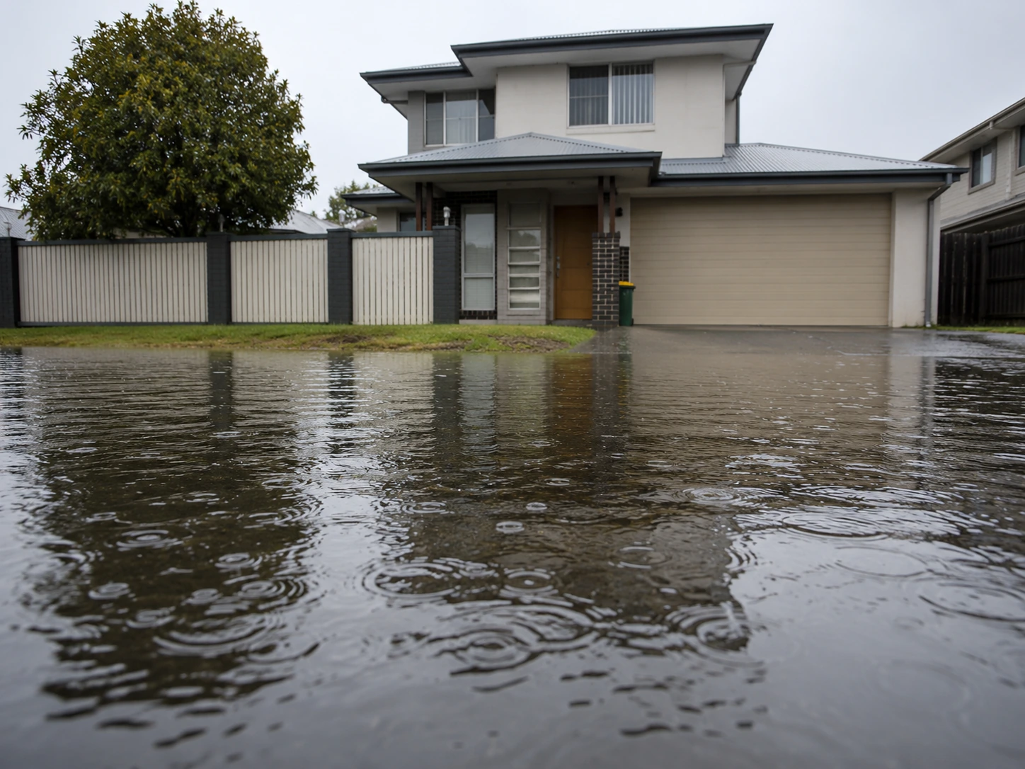
An overland flow path usually follows the steepest downhill route across the ground surface. It may run through shallow depressions, grassed swales, side boundaries, road gutters or natural channels that have formed over time.
In some suburbs, what appears to be a minor low point beside a driveway may form part of a larger overland flow route that carries significant water during intense storms.
Common characteristics include:
Even shallow overland flow can affect habitable floor levels, vehicle access, drainage design and site safety. In some council areas, overland flow is treated as a specific flood risk category with its own planning controls and building requirements.
Overland flow is different from riverine or mainstream flooding. It usually comes from local stormwater runoff within a smaller catchment, such as a group of streets, a hillside or a small gully.
This type of flooding is often quick to occur and short in duration, but it can still be intense. Fast-moving surface water can cause erosion, affect driveway access, enter lower parts of buildings or be redirected onto neighbouring properties.
Unlike river flooding, overland flow can occur far from creeks, rivers or visible watercourses. This means a property may appear low risk on a basic flood map but still be affected by local surface runoff during heavy rain.
For this reason, councils may rely on overland flow mapping, site-specific survey data or hydraulic assessment to understand the true drainage behaviour of a site.
For new buildings, extensions, subdivisions and major site works, overland flow paths can directly influence how a property can be designed and used. If a flow path crosses the land, it may affect building position, finished floor levels, retaining walls, driveway gradients, fencing, landscaping and stormwater infrastructure.
A mapped or identified overland flow path may affect:
Ignoring an overland flow path can cause water to enter buildings, concentrate in unsafe locations or be diverted onto neighbouring properties. This can create safety issues, approval problems and potential liability for the landowner.
Correctly identifying and accommodating the flow helps ensure stormwater can continue to move safely across the land without increasing flood risk to people, property or adjoining sites.
An overland flow path survey is a specialised form of land survey that identifies how stormwater moves across a site when underground drainage systems are full, blocked or unavailable. It records the natural and modified flow paths that surface water follows, along with the levels, features and constraints that influence flood behaviour.
This survey provides the detailed spatial information needed by hydraulic engineers, civil engineers, certifiers and councils to assess flood risk, design drainage systems and confirm that buildings and infrastructure can remain safe and serviceable during heavy rainfall events.
While a standard detail or topographic survey records general site features and levels, an overland flow path survey focuses more closely on surface water behaviour. It captures the subtle level changes, crossfalls, low points and barriers that influence where water will travel.
An overland flow path survey focuses on the physical conditions that affect stormwater movement across a site. The information is usually used as the base data for hydraulic modelling, drainage design and council assessment.
The survey may record:
In urban NSW sites, the survey may need to extend beyond the property boundaries to include adjoining land, kerb lines, road levels and upstream or downstream flow routes. This is important because overland flow rarely stops neatly at the boundary of one lot.
Surveyors use precise instruments to establish a reliable site datum and coordinate system. The output may include detailed plans, spot levels, contours, cross sections and a digital terrain model that can be used directly in civil or hydraulic design software.
The survey data becomes the factual base for stormwater design and flood assessment. Hydraulic and civil engineers use it to understand how stormwater currently behaves on the site and how it may behave after development.
This information can help engineers:
Councils and certifiers then rely on the survey-informed design to assess compliance with development controls, flood planning requirements and stormwater management expectations.
Clear survey evidence can also reduce the risk of requests for further information during assessment. When site levels, drainage paths and flood constraints are properly documented, engineers can provide stronger justification for the proposed design.
A standard detail or topographic survey records the general shape, levels and features of a property. It is commonly used for design, planning and documentation across many types of projects.
An overland flow path survey is more targeted. It pays closer attention to the parts of the site that influence surface water movement, especially low points, crossfalls, drainage corridors, boundary levels and potential ponding areas.
For example, a standard survey may show a driveway, garage and boundary fence. An overland flow path survey will focus more specifically on whether the driveway forms a flow route, whether the garage threshold is at risk, whether the boundary fence may obstruct water and whether surface runoff can safely pass through the site.
This level of detail is particularly important in NSW infill, knockdown rebuild and multi-unit development contexts, where sites are often constrained and small level changes can affect neighbouring properties.
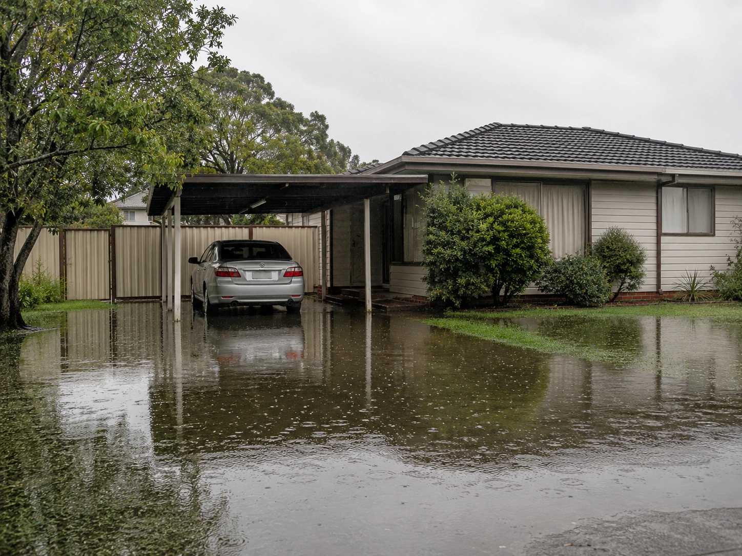
An overland flow path survey is usually needed when a proposed development may affect how stormwater travels across land. It is closely linked to local council flood controls, stormwater requirements and the need to demonstrate that building works will not increase flood risk.
Councils, certifiers or engineers may request this survey as part of a development application, construction certificate package, flood impact assessment, stormwater management plan or overland flow study.
One of the most common triggers is when a property is identified as flood-affected, flood-prone or located within a mapped overland flow path. This may be shown in a local environmental plan, development control plan, flood study, planning certificate or council mapping system.
A survey may be required even if the site has not visibly flooded before. Council flood mapping is often based on broader catchment modelling, not just past observed flood events.
An overland flow path survey may be needed for:
Where a proposal includes habitable rooms, garages, basements or access points near a potential flow path, accurate survey information is critical for setting safe levels and designing appropriate drainage measures.
A survey may also be required when proposed works change how water moves across the site. Even if the site is not formally mapped as flood-prone, council or a certifier may still need evidence that the development will not redirect water in a harmful way.
Common triggers include:
In established suburbs, a small change on one property can push more water onto a neighbouring lot. An overland flow path survey allows engineers to compare existing and proposed conditions and demonstrate whether runoff can still be managed safely.
In many NSW local government areas, overland flow and flood-related requirements are applied through development consent conditions. These may require survey information before detailed hydraulic design, before a construction certificate is issued or before certain site works can proceed.
A survey may be required to support:
Even where an overland flow path survey is not specifically listed at the start of a project, it may be requested if council officers, certifiers or engineers identify uncertainty about site levels, local drainage behaviour or potential impacts on adjoining land.
An overland flow path survey helps engineers and planners design drainage systems that respond to the actual behaviour of stormwater on the site. Rather than relying on assumptions, the design can be based on measured levels, surface gradients, drainage features and flow constraints.
This is important because councils generally expect drainage designs to show that stormwater can be safely collected, conveyed and discharged without worsening flooding elsewhere.
Survey data can support the design of:
For example, where an underground stormwater system reaches capacity during a major storm, the overland flow route may need to carry excess water safely through or around the site. Without reliable survey data, it is difficult for engineers to prove that this can occur without water entering dwellings or being diverted onto neighbouring properties.
Poor or incomplete survey information can lead to design changes, council requests for further information or delays during the approval process. If engineers do not have reliable levels and drainage information, they may need additional site investigation before they can finalise stormwater or flood-related design.
Accurate overland flow path survey data helps reduce approval risk by giving project teams a clear understanding of:
This information supports better decision-making early in the project. It can help avoid designs that later need to be changed because they conflict with council stormwater requirements or create unacceptable flood impacts.
An overland flow path survey provides the detailed site information needed to understand how stormwater moves across land during heavy rainfall. By recording ground levels, drainage features, structures and surface flow paths, the survey supports hydraulic modelling, drainage design, flood risk assessment and NSW planning or certification requirements.
For developments affected by overland flow, accurate survey information can help reduce approval delays, support safer design decisions and minimise the risk of redirecting stormwater onto neighbouring properties. Working with experienced surveyors ensures the information used by engineers, certifiers and councils is reliable, practical and suited to the site conditions.