Fastest Turnaround Times In The Surveying Industry!


Accurate survey information is an essential foundation for property development, subdivision and construction work. Boundaries, easements, natural features and site levels can all influence what can be built, where structures can be positioned and whether a project proceeds smoothly through its design, approval and registration stages.
The Surveying and Spatial Information Regulation 2024 commenced in New South Wales on 1 March 2025, replacing the previous 2017 Regulation. A transition arrangement allowed certain surveys completed before 1 January 2026 to continue under the previous requirements.
The current Regulation sets the standards surveyors must follow when measuring land, defining boundaries, preparing plans and documenting their work. While property owners and developers do not need to interpret the technical requirements themselves, the Regulation has practical consequences for projects that rely on accurate survey information.
At MCS Surveyors, we work with property owners, developers and consultants who require reliable information before planning, subdivision or construction begins. This article explains how the current Regulation relates to boundary surveys, subdivision plans, older survey records and properties where natural features may form part of a legal boundary.
The Surveying and Spatial Information Regulation 2024 sits under the Surveying and Spatial Information Act 2002 and sets requirements for relevant survey work carried out in NSW.
It covers technical and procedural matters such as:
Most of these obligations sit with the surveyor rather than the client. However, they support the reliability of the information used by architects, planners, engineers, builders and other consultants.
When survey work is required, the quality of the underlying information can affect development applications, subdivision layouts, construction set-outs and plans prepared for lodgement with NSW Land Registry Services or another relevant authority.
The Regulation does not determine every situation in which a council, certifier, lender or consultant will require a survey. However, when survey work is needed, it establishes the standards the work must meet.
Depending on the project, survey information may be required to:
Obtaining suitable survey information early can help identify issues before significant time and money are committed to a design.
This is particularly important when a proposed building is close to a boundary, a site contains existing structures or a development relies on a precise subdivision layout. It can also help ensure that the consultants working on the project are using consistent information.
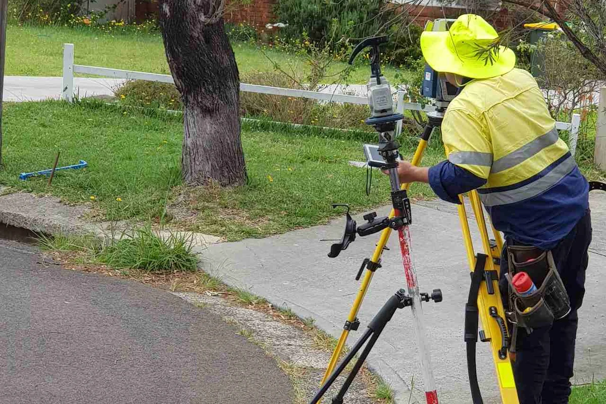
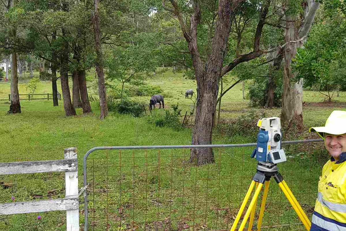
The Regulation contains detailed standards intended to support the accuracy, consistency and traceability of survey work across NSW. These standards apply to the equipment used, the checks undertaken and the way measurements and boundaries are documented.
Surveyors must use appropriate measuring equipment and complete the required verification, validation and confirmation processes. The specific equipment and methods selected will depend on the type of work being completed.
The Regulation also sets accuracy and tolerance requirements for survey measurements. These standards help provide a consistent basis for assessing whether information is sufficiently reliable for its intended purpose.
For a property project, this can reduce uncertainty around:
Even a relatively small discrepancy may become significant when a building is designed close to a boundary or an easement limits the available development area.
Permanent survey marks connect individual surveys to the broader surveying framework used across NSW. The Regulation sets requirements for when surveys must connect to these marks and how those connections are made.
This supports consistency between surveys carried out at different times and by different surveyors. It can also assist when boundaries need to be defined or re-established using older plans, existing occupation and current measurements.
The Regulation reinforces the importance of maintaining clear survey documentation. Depending on the type of work, this may include field notes, observations, calculations, survey marks, the equipment and methods used, adopted datum information and any discrepancies identified during the survey.
These records may remain useful long after the initial work has been completed. A future owner, consultant or surveyor may need to understand how a boundary was defined or why a particular measurement was adopted.
A boundary survey identifies or re-establishes the legal boundaries of a property. It is not the same as simply locating a visible fence, retaining wall or driveway.
Physical features can provide useful evidence, but they do not always align precisely with the title boundary.
Over time, fences, walls, gardens and structures may be installed in positions that do not exactly follow the surveyed boundary. In some cases, the difference is minor. In others, it may affect an extension, a new dwelling, a subdivision layout or a property transaction.
A boundary survey can help determine whether:
Checking the boundary before detailed design or construction begins can help prevent avoidable revisions. This is especially important on smaller urban lots where setbacks and available building areas may be tight.
For property owners and developers working with surveyors in Wollongong, an early boundary survey may help inform decisions about dwelling placement, retaining walls, accessways, garages, extensions and landscaping close to neighbouring properties.
Identifying a discrepancy does not necessarily mean a project cannot proceed. It allows the design team to understand the issue and determine whether plans should be adjusted or further advice is required.
Subdivision work relies on accurate boundary definition and carefully prepared survey plans. Before new lots can be registered, their boundaries, dimensions and relationships with easements, roads and other interests must be documented clearly.
A concept subdivision plan can be useful during an early feasibility assessment. However, it should not be treated as a substitute for current survey information.
A detailed survey may identify constraints that are not apparent from aerial imagery, mapping tools or older plans. These may include:
Recognising these issues early can reduce the likelihood of preparing a subdivision layout that later requires substantial revision.
The Regulation sets requirements for formal land survey plans, including how boundaries, survey marks, easements and natural features are shown. Coordinate and height information included on relevant plans must also relate to the appropriate datum.
The scope of work will depend on the site and the proposed subdivision. A boundary adjustment may involve different considerations from a multi-lot subdivision, strata development or project affected by a natural-feature boundary.
Allowing sufficient time for survey work, design refinement, authority reviews and any necessary adjustments can help prevent avoidable delays.
Older survey plans can contain valuable information. However, a historic plan is not automatically suitable as the sole basis for a new development, subdivision or construction project.
The key question is not simply how old the plan is. It is whether the plan contains the information needed for the proposed work and whether current site conditions still align with what is shown.
Since an earlier survey was completed:
An older plan may also have been prepared for a different purpose. For example, a plan originally prepared to identify a property boundary may not contain the ground levels, structures and site features required by an architect or engineer designing a new development.
Surveying methods, reference frameworks and documentation standards have also changed over time. This does not mean older plans are necessarily inaccurate or unusable. However, they may need to be interpreted alongside current site evidence and updated survey work.
A surveyor can review the available information and advise whether:
Some properties are affected by natural features such as tidal waters, non-tidal waterways, cliff faces or ridgelines. The Regulation recognises these features and sets requirements for surveys where a natural feature forms part of a property boundary.
These surveys can be more complex than surveys involving fixed boundaries because the physical feature may change over time.
Where a natural feature forms a legal boundary, the surveyor may need to assess changes in its course or direction. If the feature has moved significantly since the current plan was prepared, further investigation may be required to determine how the boundary should be treated.
The assessment may depend on:
For certain surveys prepared for lodgement with the Registrar-General or a public authority, a detailed report may be required to explain the basis and method used to define the natural-feature boundary. Supporting evidence may also be necessary.
Natural-feature boundaries are particularly relevant for coastal properties and land near creeks, rivers or other waterways. A change in the location of a natural feature can affect the surveyed boundary in some circumstances.
For a property owner or developer, this may influence:
A current survey can help clarify whether the natural feature affects the surrounding site conditions or forms part of the legal boundary and requires more detailed assessment.
Not every challenging site condition creates a boundary issue. However, steep slopes, restricted access, drainage corridors and flood-affected areas can influence the type and level of survey information needed.
On sloping or irregular land, a detail and contour survey may record:
This information can assist architects, engineers and builders when assessing building levels, excavation requirements and stormwater management.
Where a property is affected by overland flow, a creek, drainage easement or flood planning controls, additional level information may be needed. Hydraulic or flood consultants may use this information to assess how water moves through or around the site.
The appropriate scope will depend on the property, the proposed development and the information requested by the consultants or authorities involved.
Property owners and developers do not need to interpret the technical requirements of the Regulation themselves. However, providing clear information at the beginning can help ensure the survey is suitable for its intended purpose.
Before arranging survey work, it is useful to clarify:
Providing this context early can help the surveyor recommend the appropriate scope and reduce the risk of missing information or duplicating work later.
Property owners and developers should consider reviewing existing survey information before:
Some sites may only require a targeted boundary survey. Others may benefit from a detail and contour survey, a subdivision survey or a more detailed investigation of natural features and existing occupation.
The Surveying and Spatial Information Regulation 2024 provides the current framework for relevant survey work in NSW. Its purpose is not to make property projects more complicated. It supports accurate measurements, clearly documented boundaries and survey information that can be relied upon when important decisions are made.
The practical takeaway for property owners and developers is straightforward. Older plans, visible fences and informal assumptions should not be relied upon without considering whether they are suitable for the proposed work.
Reviewing survey requirements early can help identify constraints before they lead to redesigns, disputes or delays.
MCS Surveyors can assess the available information and determine the most appropriate survey work for the site, whether the project involves boundary definition, subdivision planning, development design or land affected by natural features.