Fastest Turnaround Times In The Surveying Industry!


Building a granny flat involves far more than selecting a design and obtaining approvals. Accurate survey information determines whether the project can proceed efficiently, comply with planning requirements and avoid costly issues during construction. Working with experienced surveyors in Shellharbour, such as MCS Surveyors, helps ensure the site is properly measured and understood before design, approval or construction begins.
This article explains the surveys commonly required before constructing a granny flat, why each survey matters and how the information supports designers, engineers, certifiers and builders throughout the project. From confirming boundaries to identifying easements, understanding these survey requirements helps create a smoother approval process and reduces the likelihood of unexpected complications during construction.
Accurate survey information is an important foundation for a compliant and buildable granny flat. Before design work, approval applications or site works begin, the survey defines what exists on the land, where the legal boundaries are and how a new secondary dwelling can be positioned safely and lawfully.
Without a current survey, a granny flat project may be exposed to boundary disputes, council or certifier issues, unexpected site constraints and costly redesigns. Survey data guides important decisions around layout, setbacks, drainage, levels, service connections and construction access.
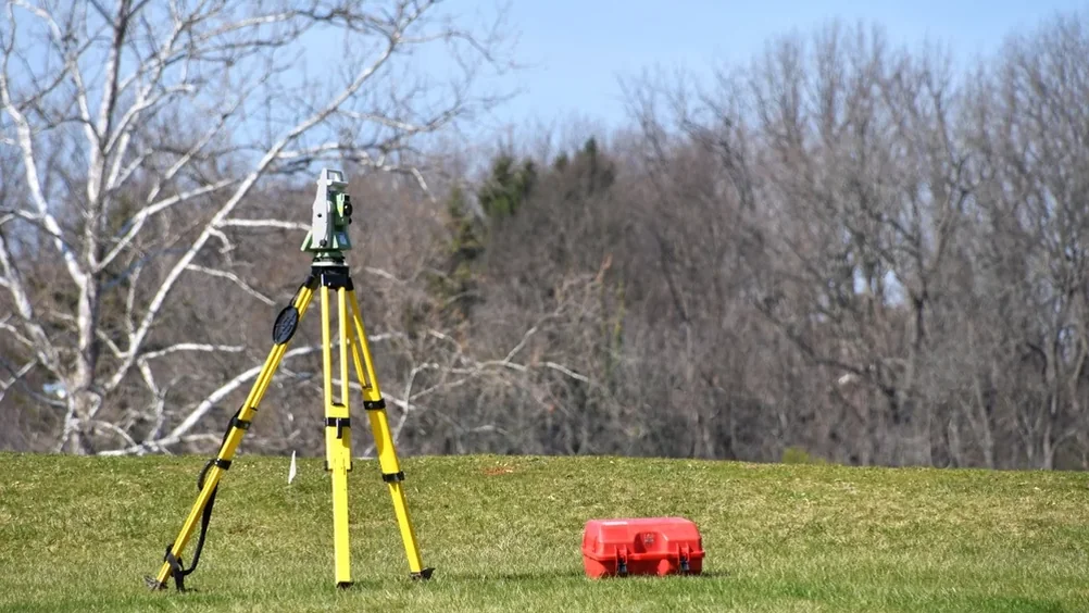
NSW planning controls for secondary dwellings rely on accurate measurements. A detailed survey helps confirm whether the site can meet the requirements of the NSW Housing SEPP, local environmental planning controls and any relevant development conditions.
Survey information may be needed to check:
Relying on old plans, approximate measurements or fence positions can result in designs that do not pass assessment. A current survey gives the architect, designer, engineer or certifier reliable site data to work from.
Granny flats are often positioned in rear yards or side areas where available space is limited. In established suburbs, fences, sheds, retaining walls and older structures may not always align with the true legal boundary.
A boundary survey identifies the exact property boundary relative to existing site features. This helps reduce the risk of neighbour disputes, setback breaches or encroachments. Designing from fence lines rather than surveyed boundaries can lead to serious problems, especially when the granny flat is proposed close to the minimum setback distance.
A registered surveyor can confirm the legal position of each boundary so that design decisions are properly documented and defensible.
A detail and contour survey is usually the first technical survey required before designing a granny flat. It provides an accurate picture of the existing site, including ground levels, built features, adjoining structures and constraints that may affect design, approvals and construction.
Council planners, private certifiers, architects, engineers and builders use this survey to understand how the proposed granny flat will fit on the land. Submitting outdated or incomplete site information can result in design changes, approval delays or requests for further information.
A detail and contour survey maps the physical features and ground levels of a property to a high level of accuracy. For a granny flat project, it will typically show:
This information forms the base plan used to position the granny flat, calculate setbacks, plan stormwater management and assess access, privacy and site levels.
Accurate levels help designers and engineers understand how the granny flat will sit on the land. This can influence slab design, excavation, retaining walls, steps, ramps, drainage and finished floor levels.
A detail and contour survey can help determine:
This information is particularly important on sloping sites, constrained blocks or properties affected by overland flow, drainage easements or limited access.
A boundary survey confirms exactly where the legal property boundaries sit on the ground. This is critical because granny flat setback requirements are measured from the legal boundary, not from fences or assumed property lines.
If the boundary position is wrong, the granny flat may be non-compliant even if the design appears to meet the rules on paper. A boundary survey helps ensure the proposed building footprint sits within the legal lot and respects the required side, rear and front setbacks.
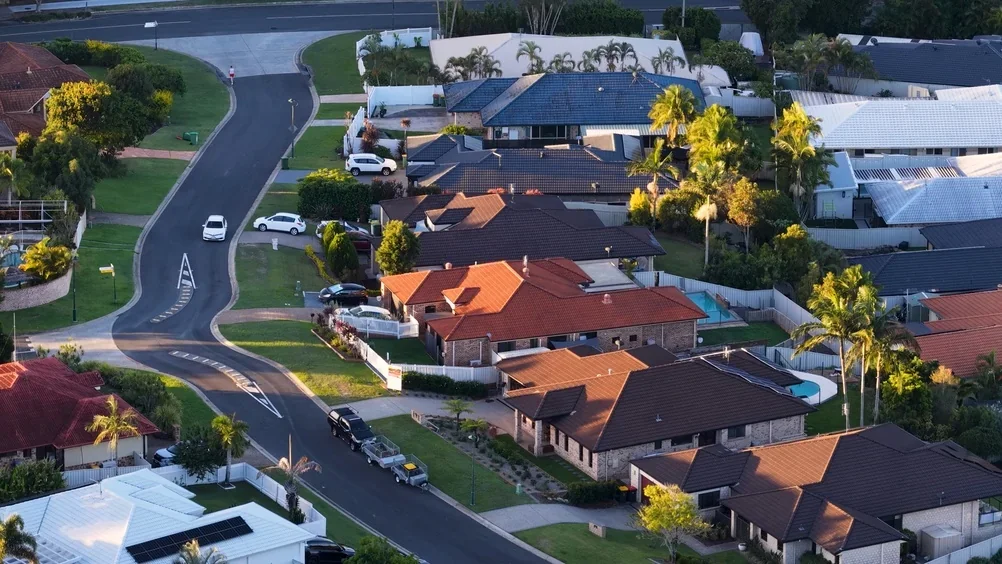
A boundary survey identifies and marks the legal extent of the property using survey instruments, cadastral records and title information. The surveyor locates existing survey marks, fences and structures, then relates these to the registered title.
For a granny flat project, a boundary survey may provide:
This information allows the designer, builder and certifier to check that the proposed granny flat has been positioned correctly before approval or construction proceeds.
A new boundary survey is particularly important when:
Obtaining accurate boundary information early reduces the risk of redesigning, relocating or modifying the granny flat later.
Easements, underground services and stormwater drainage can strongly influence where a granny flat can be built. These constraints should be identified before committing to a layout or lodging an approval application.
A detail survey, title review and service investigation can help identify infrastructure or legal restrictions that may limit the building footprint, require engineering input or prevent development in part of the site.
Easements are legal rights recorded on the title that allow another party to use or access part of the land. Common examples include drainage easements, sewer easements, access easements and service easements.
A granny flat usually cannot be built over an easement unless formal approval is obtained from the relevant authority or benefiting party. Easements may also require clear access for maintenance or restrict the amount of fill, retaining walls or permanent structures that can be placed within the easement area.
A survey helps map the location and width of easements relative to the proposed granny flat. This allows the designer to position the building clear of the easement or seek further advice before the design progresses too far.
Many services are not obvious at ground level. These may include sewer lines, stormwater pipes, water, gas, electrical conduits, telecommunications infrastructure and private drainage connections.
A survey may identify visible service features such as:
Where a possible conflict is identified, additional investigations such as service locating, asset searches or CCTV inspection may be recommended. This helps designers and engineers avoid clashes with important infrastructure and plan suitable footing, slab or drainage solutions.
Stormwater management is an important part of granny flat approvals in NSW. A survey captures surface levels, low points, ridgelines, kerb levels and drainage structures so engineers can determine how water moves across the site.
Survey data can help confirm:
If the proposed granny flat sits within an overland flow path or drainage constraint, the design may need to be adjusted. Identifying this early can prevent approval delays and avoid expensive construction changes.
Once a granny flat has been approved and construction is ready to begin, a set-out survey transfers the approved design from the plans onto the ground. This ensures the builder starts from accurate marks rather than relying on tape measurements or assumed boundary positions.
A set-out survey is especially important where the granny flat is close to boundaries, easements, existing buildings or required separation distances.
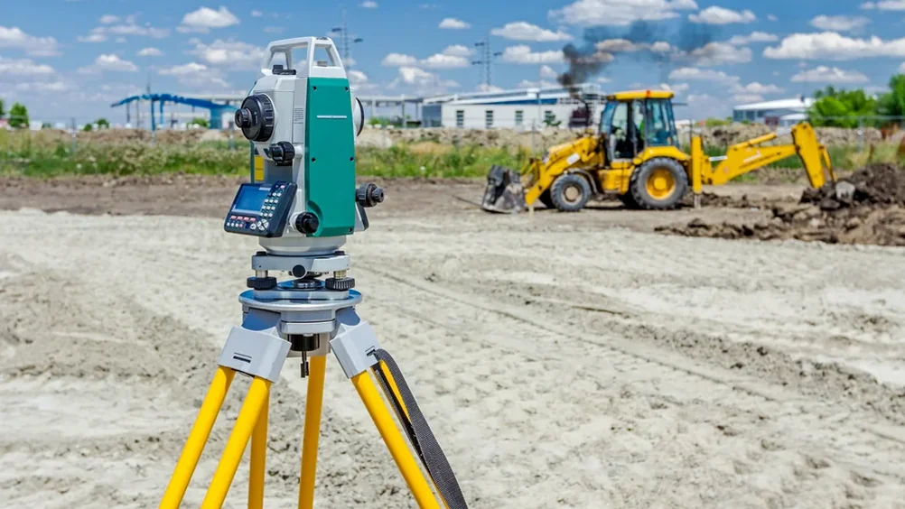
A registered surveyor uses the approved architectural and engineering plans, along with boundary information, to mark the exact position of the granny flat on site.
The surveyor may mark:
The builder can then use these marks to place formwork, footings, piers or slab edges in the correct position.
Many granny flats are built on constrained suburban blocks where setback tolerances can be tight. Even a small positioning error can affect compliance with boundary setbacks, distance from the existing dwelling or easement clearances.
A set-out survey helps reduce the risk of:
Certifiers may require evidence that the building has been set out correctly, particularly where the approved plans rely on precise boundary or level information.
An as-built or work-as-executed survey records what has actually been constructed on the land. This allows the council or private certifier to compare the completed granny flat with the approved plans and relevant approval conditions.
For many granny flat projects, an as-built survey is commonly required before the occupation certificate can be issued, especially where final setbacks, floor levels, height or drainage works need to be verified.
An as-built survey focuses on the completed structure and associated works. For a granny flat, it may show:
This information gives the certifier clear evidence of the final constructed position, levels and dimensions.
A work-as-executed plan helps confirm that the granny flat has been built in accordance with the approved design. It can be used to check important compliance matters such as setbacks, easement clearances, height limits, finished floor levels and stormwater construction.
Certifiers may use the survey to confirm:
If a discrepancy is found, the certifier may request rectification work, further documentation or a modification to the approval. Having accurate survey evidence allows these issues to be assessed clearly.
The best time to arrange each survey depends on the stage of the granny flat project.
A detail and contour survey should be completed before design work begins. A boundary survey should be arranged early if the granny flat will be close to boundaries or if the position of fences and existing structures is uncertain. A set-out survey should be completed after approval but before construction starts. An as-built or work-as-executed survey is usually completed once construction and external levels are finished.
Owners and builders should provide the surveyor with current approved plans, title information, development consent documents and any modifications that have been approved during the project. This allows the surveyor to check the most important compliance items efficiently.
Where underground drainage or services need to be recorded, it may be useful to survey these before they are covered. Waiting until the end of the project can make some features harder to locate.
Keeping survey records on file is also useful for future works, such as extensions, landscaping, swimming pools, retaining walls or additional approvals.
Understanding the surveys required before building a granny flat in NSW is an important part of successful project planning. Detail and contour surveys, boundary surveys, set-out surveys and as-built or work-as-executed surveys each play a different role in reducing risk and supporting compliance.
Accurate survey information helps designers position the granny flat correctly, allows certifiers to assess the proposal properly and gives builders reliable site data during construction. By identifying boundaries, levels, easements, services and drainage constraints early, surveying helps minimise design revisions, reduce construction risks and support a smoother path from planning through to project completion.